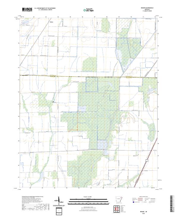
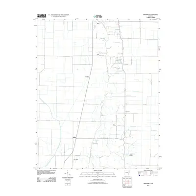
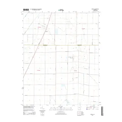
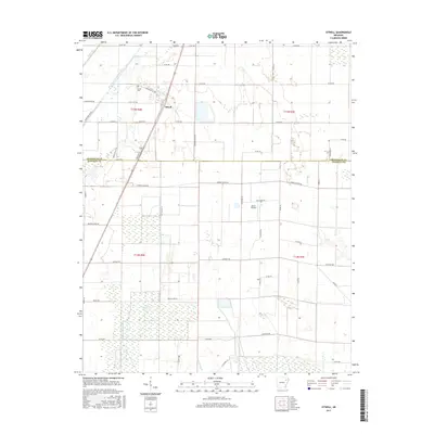
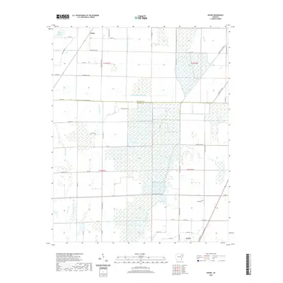
2024 Map of Risher
USGS Topo · Published 2024About this map
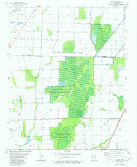
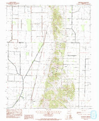
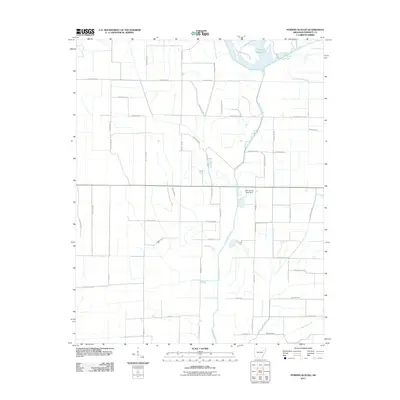
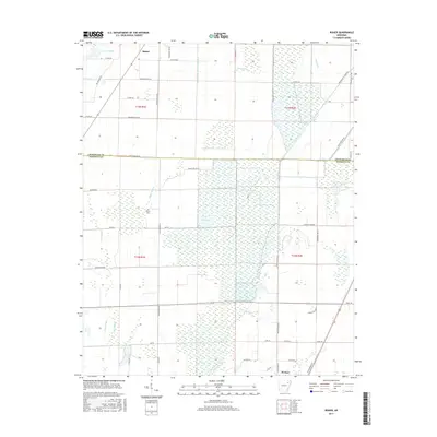
Risher sits at the northern edge of this agricultural and wetland landscape, marking a transition from the structured fields of southern Craighead County into the hydrologically complex basin of Poinsett County. The area is defined by an intricate network of waterways and drainage systems, where natural features like Gum Slough and Maple Slough are integrated into modern engineered channels such as Angle Ditch Lateral Number 4 and the Long Pond Or Cache Ditch.
Find a feature on this map
60 named features on this map. Tap any name to fly to it.
Don’t see what you’re looking for? This feature index may not catch every label — zoom into the map to look around manually.
Map Details
Editions of this 2024 Risher Map
This is the sole edition of this map. No revisions or reprints were ever made.
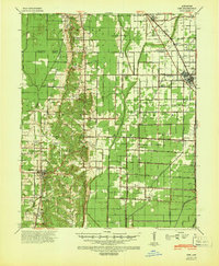
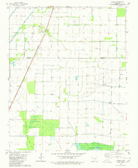
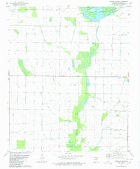
Historical Maps of Weiner Through Time
38 maps found
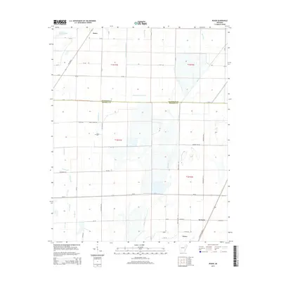
1940 Dee
Poinsett County, AR

1958 Dee
Poinsett County, AR
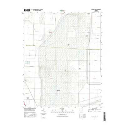
1980 Otwell
Poinsett County, AR
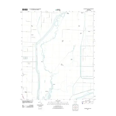
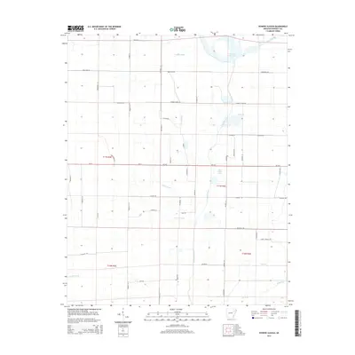
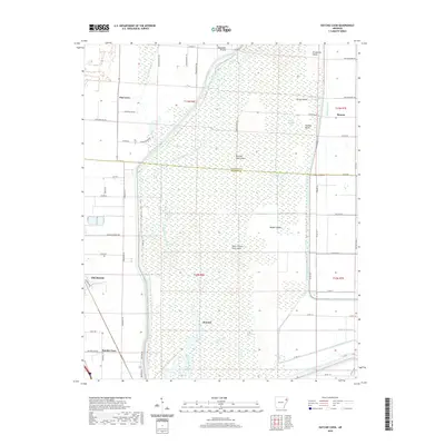
1980 Powers Slough
Poinsett County, AR
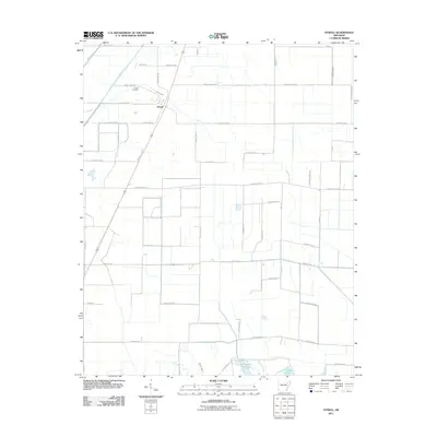
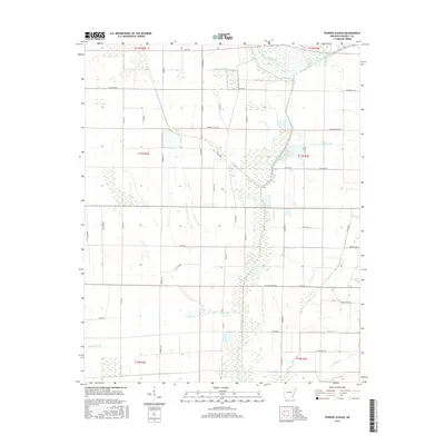
1980 Risher
Poinsett County, AR
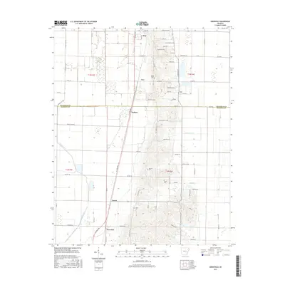
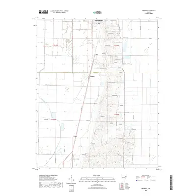
1983 Greenfield
Poinsett County, AR
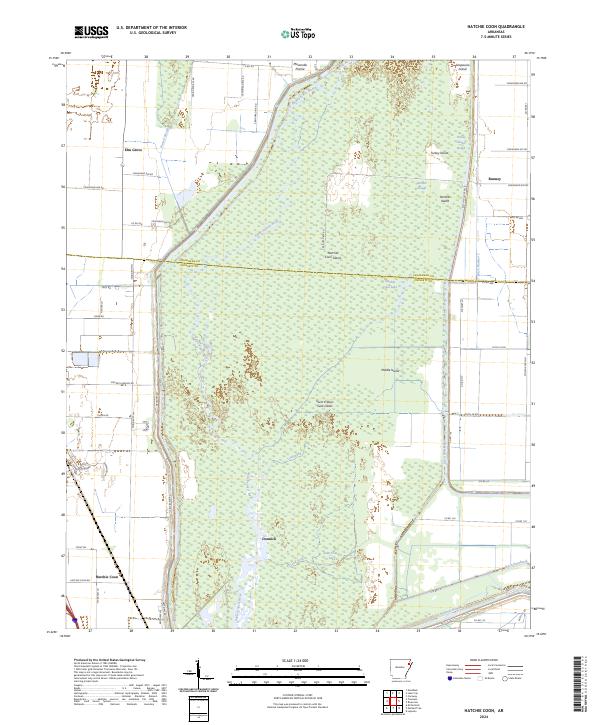
1983 Hatchie Coon
Poinsett County, AR
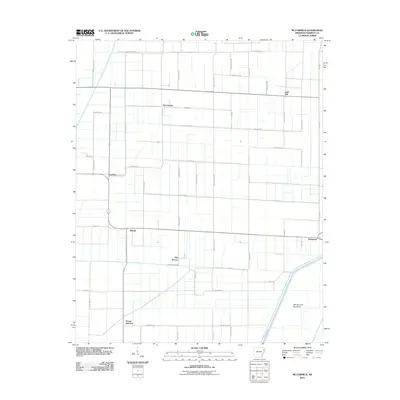
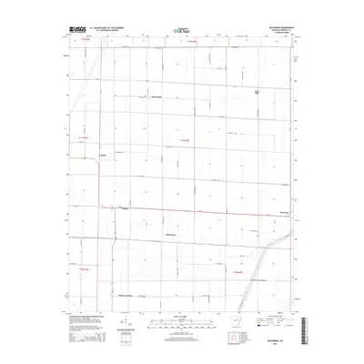
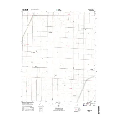
1983 Mc Cormick
Poinsett County, AR
2011 Greenfield
Poinsett County, AR
2011 Hatchie Coon
Poinsett County, AR
2011 McCormick
Poinsett County, AR
2011 Otwell
Poinsett County, AR
2011 Powers Slough
Poinsett County, AR
2011 Risher
Poinsett County, AR
2014 Greenfield
Poinsett County, AR
2014 Hatchie Coon
Poinsett County, AR
2014 McCormick
Poinsett County, AR
2014 Otwell
Poinsett County, AR
2014 Powers Slough
Poinsett County, AR
2014 Risher
Poinsett County, AR
2017 Greenfield
Poinsett County, AR
2017 Hatchie Coon
Poinsett County, AR
2017 McCormick
Poinsett County, AR
2017 Otwell
Poinsett County, AR
2017 Powers Slough
Poinsett County, AR
2017 Risher
Poinsett County, AR
2020 Greenfield
Poinsett County, AR
2020 Hatchie Coon
Poinsett County, AR
2020 McCormick
Poinsett County, AR
2020 Otwell
Poinsett County, AR

2020 Powers Slough
Poinsett County, AR
2020 Risher
Poinsett County, AR
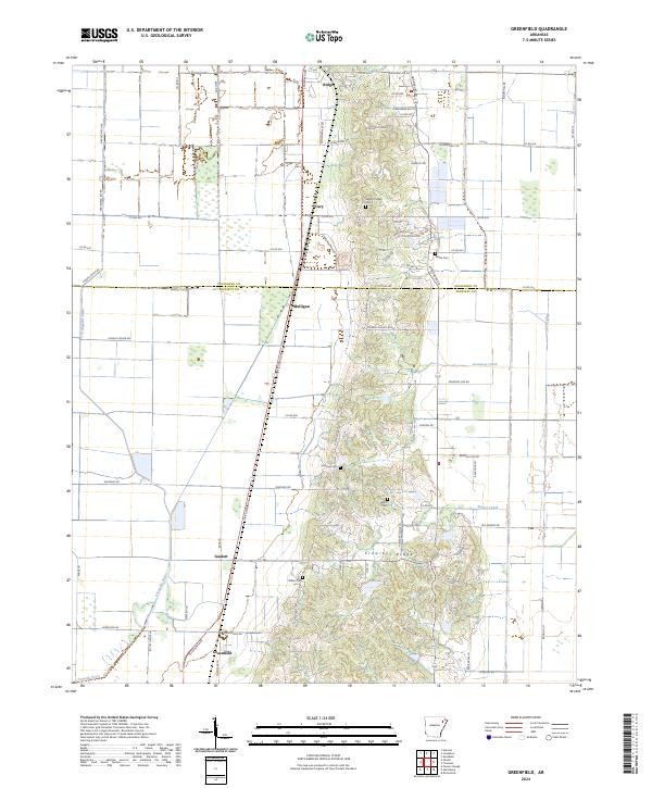
2024 Greenfield
Poinsett County, AR
2024 Hatchie Coon
Poinsett County, AR
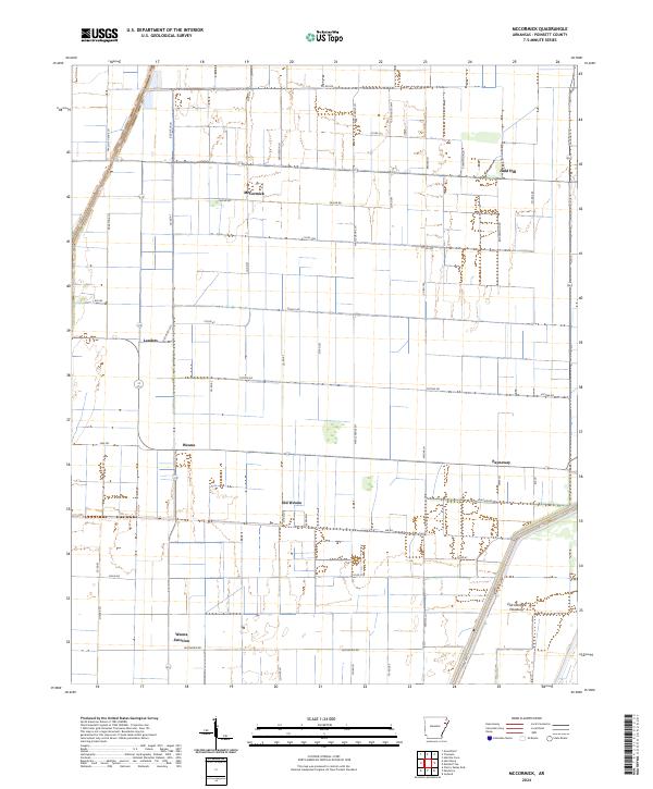
2024 McCormick
Poinsett County, AR
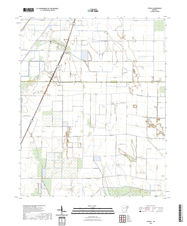
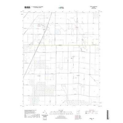
2024 Otwell
Poinsett County, AR
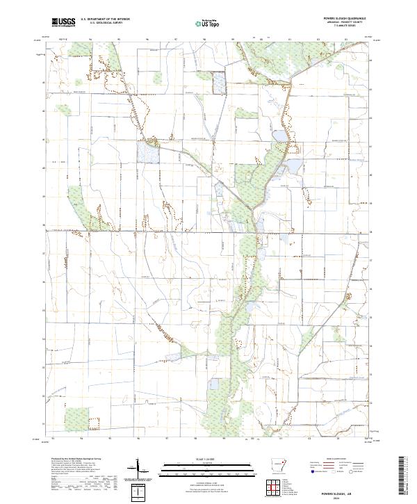
2024 Powers Slough
Poinsett County, AR
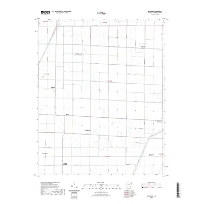
2024 Risher
Poinsett County, AR