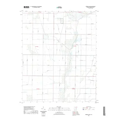
2020 Map of Powers Slough
USGS Topo · Published 2020About this map
L'Anguille River and its intricate drainage network define this low-lying landscape in Poinsett County, Arkansas. The topography is dominated by hydrological features such as Powers Slough, Raccoon Bayou, and several seasonal tributaries including England Cr and Mardis Br. This modern survey illustrates a heavily partitioned agricultural landscape, where the rectilinear grid of township and range lines dictates the placement of rural infrastructure. A dense web of local access points like Weiner Cutoff Rd, Claypool Ln, and Swan Pond Rd connects farmsteads across the alluvial plain. The map records the persistence of original land divisions, showing how natural waterways like Bale Brown Br and Hollow Br wind through the strictly ordered sections of T11N and T12N.
Find a feature on this map
52 named features on this map. Tap any name to fly to it.
Don’t see what you’re looking for? This feature index may not catch every label — zoom into the map to look around manually.
Map Details
Editions of this 2020 Powers Slough Map
This is the sole edition of this map. No revisions or reprints were ever made.
Other maps of this area

1939 · Vanndale
USGS Topo · 1:62,500

1939 · Weiner
USGS Topo · 1:62,500

1940 · Princedale
USGS Topo · 1:62,500

1940 · Dee
USGS Topo · 1:62,500

1953 · Memphis
USGS Topo · 1:250,000

1956 · Memphis
USGS Topo · 1:250,000

1956 · Princedale
USGS Topo · 1:62,500

1958 · Dee
USGS Topo · 1:62,500

1958 · Vanndale
USGS Topo · 1:62,500

1959 · Weiner
USGS Topo · 1:62,500