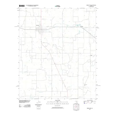
2010 Map of Rising Star
USGS Topo · Published 2010About this map
The town of Rising Star serves as the focal point for this landscape in Eastland County, where the street grid of the central settlement meets a network of county roads. The terrain is defined by the winding course of Copperas Creek and the notable landform of Rattlesnake Gap to the southeast. Small outlying communities like Chuckville and Amity mark the rural expanses, connected by routes such as Ranch Rd 583. This 2010 survey illustrates the modern rural Texas landscape, showing the distribution of agricultural tracts and the drainage patterns of Keys Branch and Bledsoe Branch. It provides a clear record of the area's infrastructure, from the local road system to the primary highways that have shaped the growth of these small western Texas settlements over decades.
Find a feature on this map
40 named features on this map. Tap any name to fly to it.
Don’t see what you’re looking for? This feature index may not catch every label — zoom into the map to look around manually.
Map Details
Editions of this 2010 Rising Star Map
This is the sole edition of this map. No revisions or reprints were ever made.
Other maps of this area

1887 · Coleman
USGS Topo · 1:125,000

1889 · Brownwood
USGS Topo · 1:125,000

1889 · Coleman
USGS Topo · 1:125,000

1894 · Eastland
USGS Topo · 1:125,000

1894 · Brownwood
USGS Topo · 1:125,000

1924 · Coleman 1-a
USGS Topo · 1:48,000

1924 · Brownwood Reservoir Site
USGS Topo · 1:48,000

1927 · Grosvenor
USGS Topo · 1:62,500

1931 · Baird
USGS Topo · 1:125,000

1932 · Baird
USGS Topo · 1:125,000