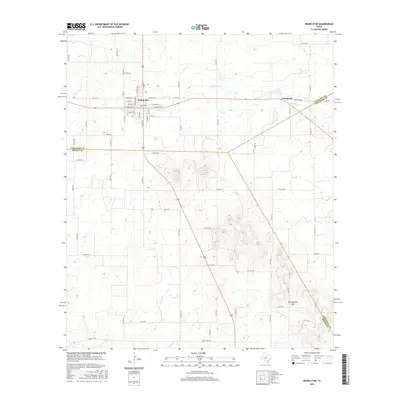
2016 Map of Rising Star
USGS Topo · Published 2016About this map
Rising Star serves as the primary hub of this Eastland County landscape, where a defined grid of streets such as N Main St, W College St, and E Pioneer St organizes the community center. The terrain is defined by the drainage patterns of Copperas Cr, which flows eastward toward the small settlement of Chuckville near the Comanche County line. To the south, the topography becomes more pronounced at Rattlesnake Gap, a natural pass situated where Eastland, Brown, and Comanche counties converge.
Find a feature on this map
69 named features on this map. Tap any name to fly to it.
Don’t see what you’re looking for? This feature index may not catch every label — zoom into the map to look around manually.
Map Details
Editions of this 2016 Rising Star Map
This is the sole edition of this map. No revisions or reprints were ever made.
Other maps of this area

1887 · Coleman
USGS Topo · 1:125,000

1889 · Brownwood
USGS Topo · 1:125,000

1889 · Coleman
USGS Topo · 1:125,000

1894 · Eastland
USGS Topo · 1:125,000

1894 · Brownwood
USGS Topo · 1:125,000

1924 · Coleman 1-a
USGS Topo · 1:48,000

1924 · Brownwood Reservoir Site
USGS Topo · 1:48,000

1927 · Grosvenor
USGS Topo · 1:62,500

1931 · Baird
USGS Topo · 1:125,000

1932 · Baird
USGS Topo · 1:125,000