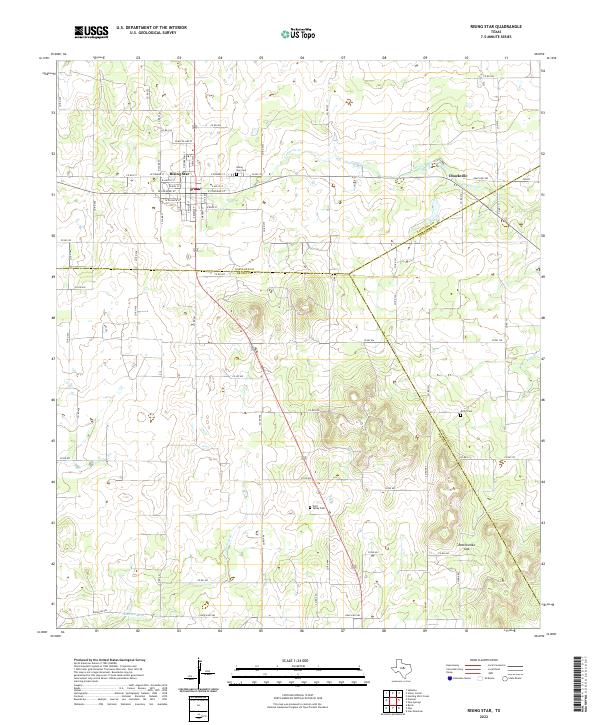
2022 Map of Rising Star
USGS Topo · Published 2022About this map
Rising Star serves as the primary hub of this North Texas landscape, where the street grid is meticulously detailed with thoroughfares such as N Main St, E College St, and S Miller St. The surrounding countryside is defined by the convergence of three counties—Eastland, Brown, and Comanche—shaping the jurisdictional boundaries of the area. Local history is anchored by several burial grounds, including the Rising Star Cem near the town center, the remote Wolf Valley Cem to the south, and Amity Cem to the east near the Comanche county line.
Find a feature on this map
73 named features on this map. Tap any name to fly to it.
Don’t see what you’re looking for? This feature index may not catch every label — zoom into the map to look around manually.
Map Details
Editions of this 2022 Rising Star Map
This is the sole edition of this map. No revisions or reprints were ever made.
Other maps of this area

1887 · Coleman
USGS Topo · 1:125,000

1889 · Brownwood
USGS Topo · 1:125,000

1889 · Coleman
USGS Topo · 1:125,000

1894 · Eastland
USGS Topo · 1:125,000

1894 · Brownwood
USGS Topo · 1:125,000

1924 · Coleman 1-a
USGS Topo · 1:48,000

1924 · Brownwood Reservoir Site
USGS Topo · 1:48,000

1927 · Grosvenor
USGS Topo · 1:62,500

1931 · Baird
USGS Topo · 1:125,000

1932 · Baird
USGS Topo · 1:125,000