2022 Map of Rising Sun
USGS Topo · Published 2022About this map
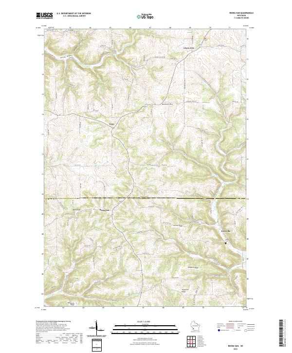
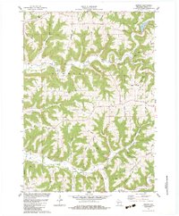
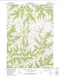
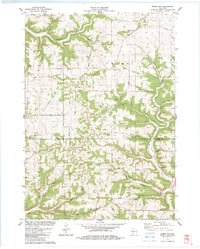
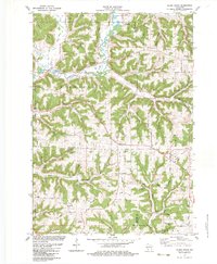
Liberty Pole and Rising Sun anchor the high ground of the Driftless Area in this modern topographic study, where the plateau is deeply dissected by a dense network of coulees and ridges. The boundary between Vernon County and Crawford County bisects the landscape, which is defined by narrow ridges such as Nash Ridge and McManus Ridge. These elevated spines support the primary settlements and rural road networks, while the steep valleys of Tainter Creek and Hornby Creek drop away to the drainages below.
Find a feature on this map
87 named features on this map. Tap any name to fly to it.
Don’t see what you’re looking for? This feature index may not catch every label — zoom into the map to look around manually.
Map Details
Editions of this 2022 Rising Sun Map
This is the sole edition of this map. No revisions or reprints were ever made.
Historical Maps of Liberty Pole Through Time
18 maps found
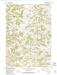
1983 Avalanche
Vernon County, WI
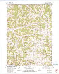
1983 Dell
Vernon County, WI
1983 Esofea
Vernon County, WI
1983 Newton
Vernon County, WI
1983 Retreat
Vernon County, WI
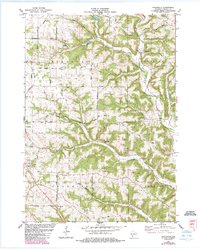
1983 Rising Sun
Vernon County, WI
1983 Sugar Grove
Vernon County, WI
1983 Trippville
Vernon County, WI
1983 West Lima
Vernon County, WI
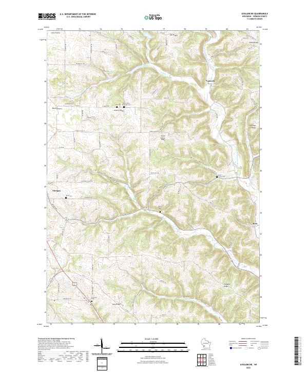
2022 Avalanche
Vernon County, WI
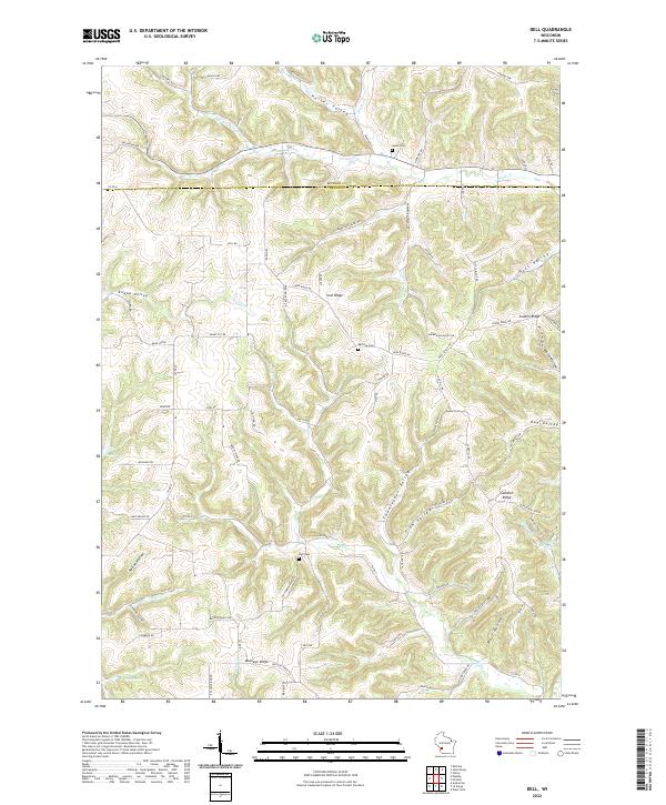
2022 Dell
Vernon County, WI
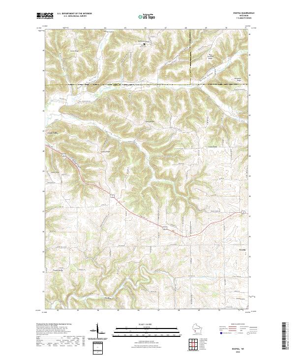
2022 Esofea
Vernon County, WI
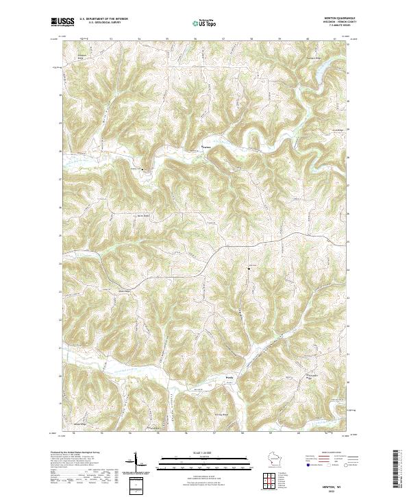
2022 Newton
Vernon County, WI
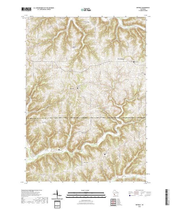
2022 Retreat
Vernon County, WI
2022 Rising Sun
Vernon County, WI
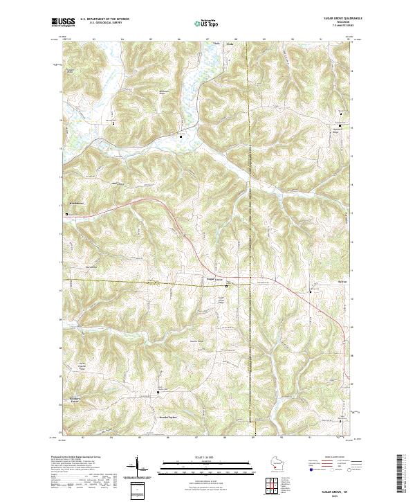
2022 Sugar Grove
Vernon County, WI
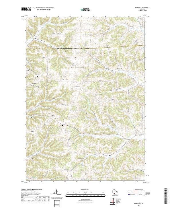
2022 Trippville
Vernon County, WI
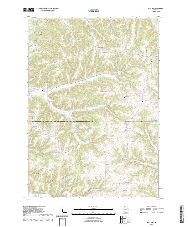
2022 West Lima
Vernon County, WI