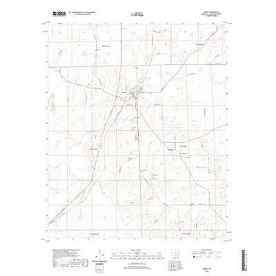
2020 Map of Rison
USGS Topo · Published 2020About this map
The Cleveland County Courthouse anchors the seat of Rison, a community organized around a grid of streets including Main St, Oak St, and Magnolia St. To the southeast, the smaller settlement of Toledo sits at a historic crossroads. This region of Arkansas is defined by the winding course of the Saline River in the southwest, while numerous tributaries like Varnell Cr, Harrison Cr, and Atwood Cr drain the surrounding timberlands and bottoms. For genealogists, the map is a significant record of family-named landmarks and burial sites, from Moores Cem in the north to Cherry Cem in the south. The landscape is dotted with smaller water bodies such as Van Sadler Lake and Lake Elrod, reflecting a rural environment where land use remains closely tied to the natural drainage patterns and the local road network.
Find a feature on this map
77 named features on this map. Tap any name to fly to it.
Don’t see what you’re looking for? This feature index may not catch every label — zoom into the map to look around manually.
Map Details
Editions of this 2020 Rison Map
This is the sole edition of this map. No revisions or reprints were ever made.
Other maps of this area

1953 · El Dorado
USGS Topo · 1:250,000

1955 · Little Rock
USGS Topo · 1:250,000

1956 · Little Rock
USGS Topo · 1:250,000

1957 · El Dorado
USGS Topo · 1:250,000

1958 · El Dorado
USGS Topo · 1:250,000

1960 · El Dorado
USGS Topo · 1:250,000

1960 · Little Rock
USGS Topo · 1:250,000

1962 · Faith
USGS Topo · 1:24,000

1962 · Kedron
USGS Topo · 1:24,000

1964 · Little Rock
USGS Topo · 1:250,000