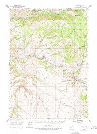
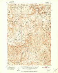
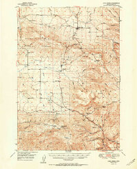
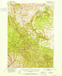
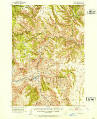
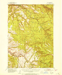
1950 Map of Ritter
USGS Topo · Published 1977About this map
The confluence of the North Fork John Day River and the Middle Fork John Day River defines this mid-century portrait of central Oregon. The small settlement of Ritter serves as a local hub, featuring the Ritter Grange, the Ritter Sch, and a nearby Lumber Mill that points to the area's timber industry. Much of the eastern portion of the map is dominated by the Umatilla National Forest, where steep canyons like Bone Canyon and peaks such as Sugar Loaf Mtn overlook the river valleys. Local infrastructure is sparse but specific, noted by a Gaging Station on the river and isolated landmarks like Threemile School and Range School. The map captures a moment when rural life centered around these small schoolhouses and the river system, before modern development significantly altered the footprint of the high desert landscape.
Find a feature on this map
70 named features on this map. Tap any name to fly to it.
Don’t see what you’re looking for? This feature index may not catch every label — zoom into the map to look around manually.
Map Details
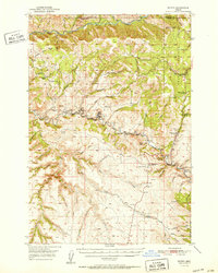
Editions of this 1950 Ritter Map
2 editions found
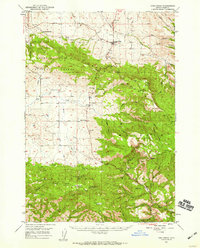
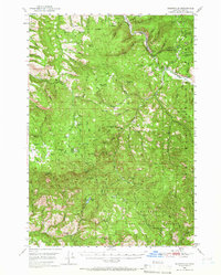
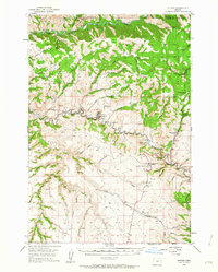
Other maps of this area
1949 · Long Creek
USGS Topo · 1:62,500
1949 · Susanville
USGS Topo · 1:62,500
1950 · Ritter
USGS Topo · 1:62,500
1951 · Susanville
USGS Topo · 1:62,500
1951 · Long Creek
USGS Topo · 1:62,500
1951 · Courtrock
USGS Topo · 1:62,500
1951 · Monument
USGS Topo · 1:62,500
1951 · Dale
USGS Topo · 1:62,500
1952 · Ritter
USGS Topo · 1:62,500

1953 · Pendleton
USGS Topo · 1:250,000