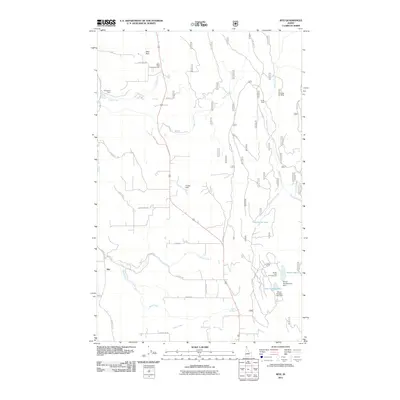
2011 Map of Ritz
USGS Topo · Published 2011About this map
Deer Park serves as a focal point for this rural Idaho landscape, where the Deer Park Community Hall stands as a local gathering place. The terrain is defined by a network of waterways including Cedar Creek, Bane Creek, and Fleming Creek, which flow through a region managed for both its natural resources and recreational value. Industrial history is evident at the Regal Mine in the northeast and near the small rail-related site of DeVoignes Spur.
Find a feature on this map
38 named features on this map. Tap any name to fly to it.
Don’t see what you’re looking for? This feature index may not catch every label — zoom into the map to look around manually.
Map Details
Editions of this 2011 Ritz Map
This is the sole edition of this map. No revisions or reprints were ever made.
Other maps of this area

1911 · Priest Lake
USGS Topo · 1:250,000

1913 · Priest Lake
USGS Topo · 1:250,000

1958 · Sandpoint
USGS Topo · 1:250,000

1963 · Sandpoint
USGS Topo · 1:250,000

1965 · Meadow Creek
USGS Topo · 1:24,000

1965 · Farnham Peak
USGS Topo · 1:24,000

1965 · Eastport
USGS Topo · 1:24,000

1965 · Moravia
USGS Topo · 1:24,000

1965 · Ritz
USGS Topo · 1:24,000

1965 · Copeland
USGS Topo · 1:24,000