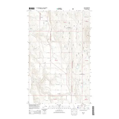
2013 Map of Ritz
USGS Topo · Published 2013About this map
Kaniksu National Forest defines the eastern and central reaches of this terrain, where the slopes of the Purcell Mountains descend toward the fertile valley floor. In the early 21st century, the settlement pattern reveals a transition from the wooded highlands to the agricultural and residential pockets of the North Bench. The map records distinct local hubs such as Deer Park, featuring the Deer Park Community Hall, and the small settlement of Ritz in the southwest. Transport and industry are marked by rail-adjacent locations like DeVoignes Spur and Watson Spur, indicating the historical importance of the timber and transport corridor.
Find a feature on this map
50 named features on this map. Tap any name to fly to it.
Don’t see what you’re looking for? This feature index may not catch every label — zoom into the map to look around manually.
Map Details
Editions of this 2013 Ritz Map
This is the sole edition of this map. No revisions or reprints were ever made.
Other maps of this area

1911 · Priest Lake
USGS Topo · 1:250,000

1913 · Priest Lake
USGS Topo · 1:250,000

1958 · Sandpoint
USGS Topo · 1:250,000

1963 · Sandpoint
USGS Topo · 1:250,000

1965 · Meadow Creek
USGS Topo · 1:24,000

1965 · Farnham Peak
USGS Topo · 1:24,000

1965 · Eastport
USGS Topo · 1:24,000

1965 · Moravia
USGS Topo · 1:24,000

1965 · Ritz
USGS Topo · 1:24,000

1965 · Copeland
USGS Topo · 1:24,000