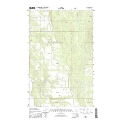
2017 Map of Ritz
USGS Topo · Published 2017About this map
Ritz and the residential pockets of North Bench occupy the flatter terrain in this 2017 study of Boundary County, Idaho. The landscape transitions sharply into the Purcell Mountains to the east and north, where the Kaniksu National Forest boundary marks a shift from private rural holdings to managed timberland. This transition is defined by a series of north-south running creeks, including Fleming Cr and Meadow Cr, which drain the elevated ridges into the valley floor.
Find a feature on this map
55 named features on this map. Tap any name to fly to it.
Don’t see what you’re looking for? This feature index may not catch every label — zoom into the map to look around manually.
Map Details
Editions of this 2017 Ritz Map
This is the sole edition of this map. No revisions or reprints were ever made.
Other maps of this area

1911 · Priest Lake
USGS Topo · 1:250,000

1913 · Priest Lake
USGS Topo · 1:250,000

1958 · Sandpoint
USGS Topo · 1:250,000

1963 · Sandpoint
USGS Topo · 1:250,000

1965 · Meadow Creek
USGS Topo · 1:24,000

1965 · Farnham Peak
USGS Topo · 1:24,000

1965 · Eastport
USGS Topo · 1:24,000

1965 · Moravia
USGS Topo · 1:24,000

1965 · Ritz
USGS Topo · 1:24,000

1965 · Copeland
USGS Topo · 1:24,000