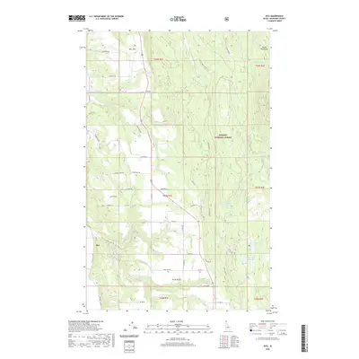
2020 Map of Ritz
USGS Topo · Published 2020About this map
North Bench and the surrounding timberlands of the Kaniksu National Forest define this 2020 landscape in Idaho's northern panhandle. The area is characterized by a network of drainage systems flowing out of the Purcell Mountains, including Meadow Cr and Rock Cr. Small clusters of settlement at Deer Park and Ritz are connected by a dense lattice of local roads, such as Fleming Creek Rd and Kings Row Rd, which navigate the varying elevations and creek bottoms.
Find a feature on this map
60 named features on this map. Tap any name to fly to it.
Don’t see what you’re looking for? This feature index may not catch every label — zoom into the map to look around manually.
Map Details
Editions of this 2020 Ritz Map
This is the sole edition of this map. No revisions or reprints were ever made.
Other maps of this area

1911 · Priest Lake
USGS Topo · 1:250,000

1913 · Priest Lake
USGS Topo · 1:250,000

1958 · Sandpoint
USGS Topo · 1:250,000

1963 · Sandpoint
USGS Topo · 1:250,000

1965 · Meadow Creek
USGS Topo · 1:24,000

1965 · Farnham Peak
USGS Topo · 1:24,000

1965 · Eastport
USGS Topo · 1:24,000

1965 · Moravia
USGS Topo · 1:24,000

1965 · Ritz
USGS Topo · 1:24,000

1965 · Copeland
USGS Topo · 1:24,000