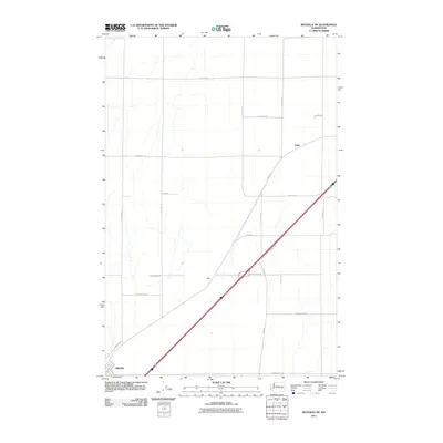
2011 Map of Ritzville NE
USGS Topo · Published 2011About this map
Ritzville serves as the anchor point for this agricultural landscape in Adams County, where the transition from the city's residential streets like S 4th Ave and E 3rd Ave gives way to a geometric grid of farm-to-market roads. The terrain is defined by a series of long-standing family-named routes, including E Schafer Rd, E Neergaard Rd, and E Wellsandt Rd, reflecting the deep-rooted landownership patterns of this Washington wheat-growing region.
Find a feature on this map
24 named features on this map. Tap any name to fly to it.
Don’t see what you’re looking for? This feature index may not catch every label — zoom into the map to look around manually.
Map Details
Editions of this 2011 Ritzville NE Map
This is the sole edition of this map. No revisions or reprints were ever made.
Other maps of this area

1953 · Ritzville
USGS Topo · 1:250,000

1959 · Ritzville
USGS Topo · 1:250,000

1964 · Karakul Hills
USGS Topo · 1:24,000

1964 · Marengo
USGS Topo · 1:24,000

1965 · Ritzville
USGS Topo · 1:250,000

1967 · Ritzville SW
USGS Topo · 1:24,000

1967 · Ritzville SE
USGS Topo · 1:24,000

1967 · Ritzville NE
USGS Topo · 1:24,000

1967 · Ritzville NW
USGS Topo · 1:24,000

1969 · Lamona
USGS Topo · 1:24,000