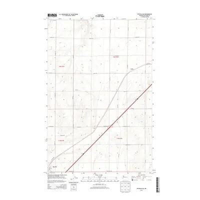
2013 Map of Ritzville NE
USGS Topo · Published 2013About this map
Ritzville serves as the focal point for this section of the Columbia Plateau, where the regional infrastructure follows both the cardinal directions of the Public Land Survey System and the diagonal path of the interstate corridor. The settlement of Tokio appears northeast of the city center, marking a significant point along the transit route that cuts across the township lines of t20n r35e and t20n r36e.
Find a feature on this map
26 named features on this map. Tap any name to fly to it.
Don’t see what you’re looking for? This feature index may not catch every label — zoom into the map to look around manually.
Map Details
Editions of this 2013 Ritzville NE Map
This is the sole edition of this map. No revisions or reprints were ever made.
Other maps of this area

1953 · Ritzville
USGS Topo · 1:250,000

1959 · Ritzville
USGS Topo · 1:250,000

1964 · Karakul Hills
USGS Topo · 1:24,000

1964 · Marengo
USGS Topo · 1:24,000

1965 · Ritzville
USGS Topo · 1:250,000

1967 · Ritzville SW
USGS Topo · 1:24,000

1967 · Ritzville SE
USGS Topo · 1:24,000

1967 · Ritzville NE
USGS Topo · 1:24,000

1967 · Ritzville NW
USGS Topo · 1:24,000

1969 · Lamona
USGS Topo · 1:24,000