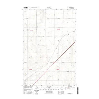
2017 Map of Ritzville NE
USGS Topo · Published 2017About this map
Tokio and the northeastern outskirts of Ritzville anchor this portion of the Columbia Plateau, characterized by a persistent grid of section lines and gravel roads. This 2017 study illustrates the intersection of modern interstate transit and the legacy of the Public Land Survey System, with the landscape divided into clear rectangular townships like t20n r35e and t19n r36e. The network of family-named corridors, such as Bauman Rd, N Sage Rd, and Danekas Rd, reflects the agricultural heritage of Adams County, where these routes still serve as the primary conduits between scattered farmsteads and regional grain centers. Topographic contours reveal the subtle draws and coulees typical of the region's scabland-adjacent geography, providing context for the placement of historical landmarks like E Schoessler Rd and Griffith Rd which follow the natural rise and fall of the terrain.
Find a feature on this map
34 named features on this map. Tap any name to fly to it.
Don’t see what you’re looking for? This feature index may not catch every label — zoom into the map to look around manually.
Map Details
Editions of this 2017 Ritzville NE Map
This is the sole edition of this map. No revisions or reprints were ever made.
Other maps of this area

1953 · Ritzville
USGS Topo · 1:250,000

1959 · Ritzville
USGS Topo · 1:250,000

1964 · Karakul Hills
USGS Topo · 1:24,000

1964 · Marengo
USGS Topo · 1:24,000

1965 · Ritzville
USGS Topo · 1:250,000

1967 · Ritzville SW
USGS Topo · 1:24,000

1967 · Ritzville SE
USGS Topo · 1:24,000

1967 · Ritzville NE
USGS Topo · 1:24,000

1967 · Ritzville NW
USGS Topo · 1:24,000

1969 · Lamona
USGS Topo · 1:24,000