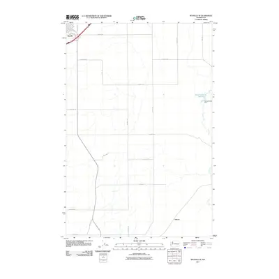
2011 Map of Ritzville SE
USGS Topo · Published 2011About this map
Ritzville serves as the primary urban anchor at the northwestern edge of this Washington landscape, where the town street grid transitions abruptly into a vast network of agricultural section lines. This 2011 survey illustrates the structured rural infrastructure of Adams County, defined by long straightaways such as E Franz Rd and Whittlesey Rd that traverse the rolling terrain. The eastern portion of the quadrangle is shaped by the drainage of Cow Creek, which flows southward through the basalt-edged coulee country. Along this waterway, the Sheep Springs Dam creates the Sheep Springs Reservoir, a critical water management feature for the surrounding wheat and cattle lands. This mapping period documents the intersection of modern highway connectivity and the enduring grid of farm-to-market roads like E Weber Rd and N Benzel Rd.
Find a feature on this map
23 named features on this map. Tap any name to fly to it.
Don’t see what you’re looking for? This feature index may not catch every label — zoom into the map to look around manually.
Map Details
Editions of this 2011 Ritzville SE Map
This is the sole edition of this map. No revisions or reprints were ever made.
Other maps of this area

1923 · Washtucna
USGS Topo · 1:62,500

1925 · Washtucna
USGS Topo · 1:62,500

1950 · Benge
USGS Topo · 1:62,500

1952 · Benge
USGS Topo · 1:62,500

1953 · Walla Walla
USGS Topo · 1:250,000

1953 · Ritzville
USGS Topo · 1:250,000

1958 · Walla Walla
USGS Topo · 1:250,000

1959 · Ritzville
USGS Topo · 1:250,000

1964 · Karakul Hills
USGS Topo · 1:24,000

1964 · Marengo
USGS Topo · 1:24,000