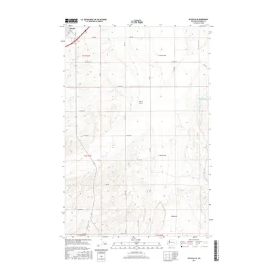
2017 Map of Ritzville SE
USGS Topo · Published 2017About this map
Ritzville occupies the upper northwestern corner of this landscape, where its street grid transitions into the expansive agricultural sections of eastern Washington. The terrain is defined by the significant path of McElroy Coulee cutting through the center and Cow Cr flowing to the southeast. These natural drainage features influenced the placement of early water management, as seen with Sheep Springs Reservoir 2. Outside of the immediate town limits, the quadrangle is largely defined by the township and range system, with a network of rural routes such as Urquhart Rd and Leisle Rd following the section lines. The settlement of Hillcrest sits in the lower southeastern portion, reflecting the scattered nature of rural communities and homesteads in the region during the early twenty-first century.
Find a feature on this map
32 named features on this map. Tap any name to fly to it.
Don’t see what you’re looking for? This feature index may not catch every label — zoom into the map to look around manually.
Map Details
Editions of this 2017 Ritzville SE Map
This is the sole edition of this map. No revisions or reprints were ever made.
Other maps of this area

1923 · Washtucna
USGS Topo · 1:62,500

1925 · Washtucna
USGS Topo · 1:62,500

1950 · Benge
USGS Topo · 1:62,500

1952 · Benge
USGS Topo · 1:62,500

1953 · Walla Walla
USGS Topo · 1:250,000

1953 · Ritzville
USGS Topo · 1:250,000

1958 · Walla Walla
USGS Topo · 1:250,000

1959 · Ritzville
USGS Topo · 1:250,000

1964 · Karakul Hills
USGS Topo · 1:24,000

1964 · Marengo
USGS Topo · 1:24,000