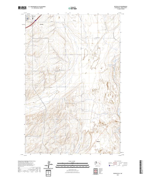
2023 Map of Ritzville SE
USGS Topo · Published 2023About this map
Ritzville serves as the primary anchor in this high-plains landscape of Adams County, where the settlement's northern edge gives way to an expansive network of rural section lines and deep geological features. The terrain is defined by the winding passage of McElroy Coulee, a significant drainage that cuts through the agricultural grid. Local heritage is preserved at the Emmanuel Lutheran Cem near the town center and the more isolated German Methodist Cem to the south, reflecting the area's early European immigrant settlement patterns. Modern recreational paths now trace historical transit corridors, most notably the Palouse To Cascades State Park Trl which traverses the southern portion of the map near the small community of Hillcrest. Water management in this arid environment is evidenced by the Sheep Springs Reservoir located on the eastern edge of the survey.
Find a feature on this map
36 named features on this map. Tap any name to fly to it.
Don’t see what you’re looking for? This feature index may not catch every label — zoom into the map to look around manually.
Map Details
Editions of this 2023 Ritzville SE Map
This is the sole edition of this map. No revisions or reprints were ever made.
Other maps of this area

1923 · Washtucna
USGS Topo · 1:62,500

1925 · Washtucna
USGS Topo · 1:62,500

1950 · Benge
USGS Topo · 1:62,500

1952 · Benge
USGS Topo · 1:62,500

1953 · Walla Walla
USGS Topo · 1:250,000

1953 · Ritzville
USGS Topo · 1:250,000

1958 · Walla Walla
USGS Topo · 1:250,000

1959 · Ritzville
USGS Topo · 1:250,000

1964 · Karakul Hills
USGS Topo · 1:24,000

1964 · Marengo
USGS Topo · 1:24,000