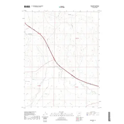
2019 Map of River Bend
USGS Topo · Published 2019About this map
Big Sandy Creek winds through this High Plains landscape, creating a distinct hydrological corridor in a region defined by open terrain and cattle country. The small settlement of River Bend sits near the creek's curve, accompanied by the River Bend Cem, a significant site for local family history and genealogical research in Elbert County. To the northwest, the map documents the community of Cedar Point, which marks a higher elevation point overlooking the drainage basins.
Find a feature on this map
19 named features on this map. Tap any name to fly to it.
Don’t see what you’re looking for? This feature index may not catch every label — zoom into the map to look around manually.
Map Details
Editions of this 2019 River Bend Map
This is the sole edition of this map. No revisions or reprints were ever made.
Other maps of this area

1891 · Limon
USGS Topo · 1:125,000

1892 · Limon
USGS Topo · 1:125,000

1954 · Limon
USGS Topo · 1:250,000

1957 · Limon
USGS Topo · 1:250,000

1958 · Limon
USGS Topo · 1:250,000

1970 · Agate
USGS Topo · 1:24,000
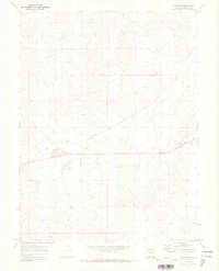
1970 · Matheson
USGS Topo · 1:24,000
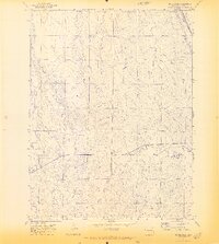
1970 · Beuck Draw
USGS Topo · 1:24,000

1970 · Limon
USGS Topo · 1:24,000

1970 · Four Corners
USGS Topo · 1:24,000