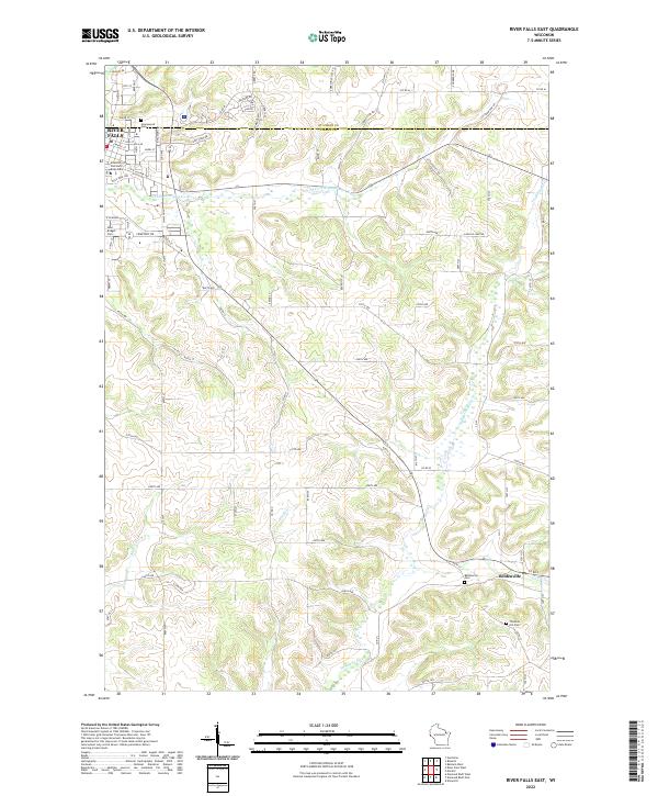
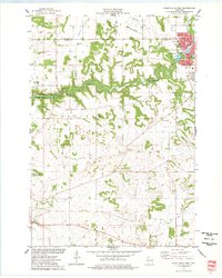
2022 Map of River Falls East
USGS Topo · Published 2022About this map
The eastern edges of River Falls and the surrounding Pierce County countryside are defined by a network of winding waterways and rural roads. The city landscape is dominated by the University of Wisconsin -River Falls campus, while local history is etched into the landscape at sites like Greenwood Cem and Saint Bridget Cem. To the southeast, the small settlement of Beldenville sits near the junction of Goose Cr and the Trimbelle River, which carves a distinct path through the township alongside the Big River. The area’s agricultural and residential character is reflected in the dense grid of rural routes, including Cemetery Rd and Wild Rose Ave, providing a clear view of land use and property organization in this part of western Wisconsin.
Find a feature on this map
87 named features on this map. Tap any name to fly to it.
Don’t see what you’re looking for? This feature index may not catch every label — zoom into the map to look around manually.
Map Details
Editions of this 2022 River Falls East Map
This is the sole edition of this map. No revisions or reprints were ever made.
Historical Maps of Trimbelle Through Time
17 maps found

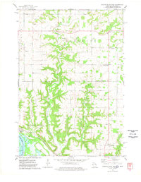
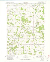
1972 Nerike Hill
Pierce County, WI
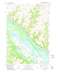
1974 Diamond Bluff East
Pierce County, WI
1974 Diamond Bluff West
Pierce County, WI
1974 El Paso
Pierce County, WI
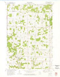
1974 Martell
Pierce County, WI
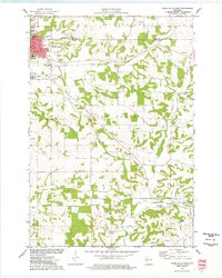
1974 River Falls East
Pierce County, WI
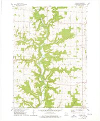
1974 River Falls West
Pierce County, WI
1974 Waverly
Pierce County, WI
1992 Diamond Bluff West
Pierce County, WI
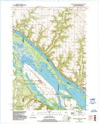
2022 Diamond Bluff East
Pierce County, WI
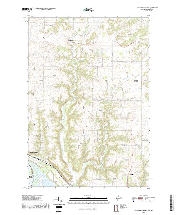
2022 Diamond Bluff West
Pierce County, WI
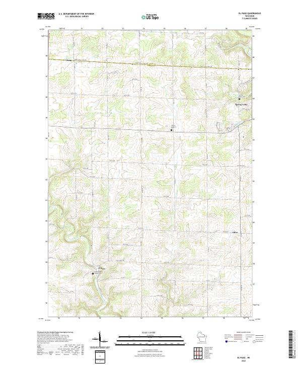
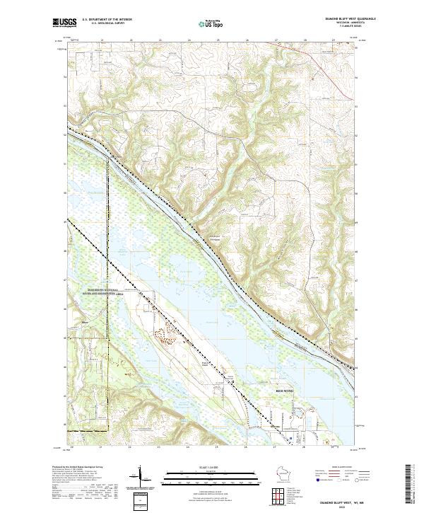
2022 El Paso
Pierce County, WI
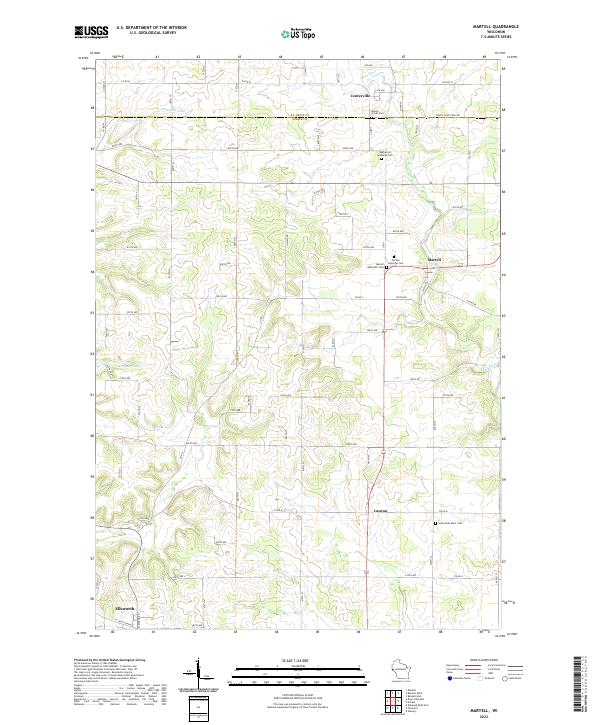
2022 Martell
Pierce County, WI
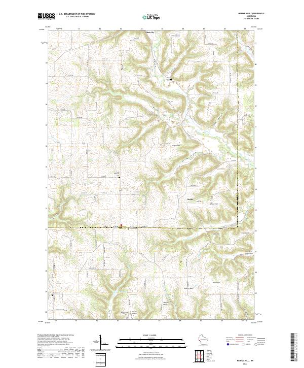
2022 Nerike Hill
Pierce County, WI
2022 River Falls East
Pierce County, WI
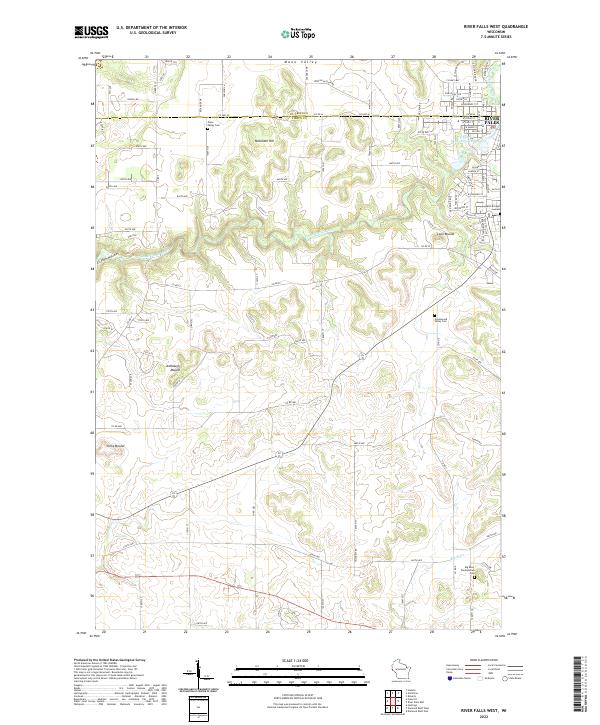
2022 River Falls West
Pierce County, WI
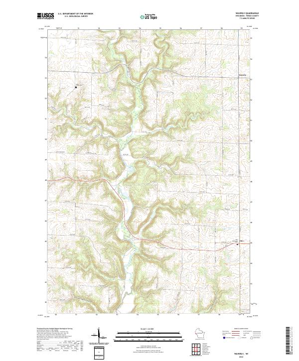
2022 Waverly
Pierce County, WI