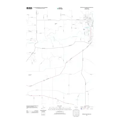
2013 Map of River Falls West
USGS Topo · Published 2013About this map
Kinnickinnic River drainage patterns define this western Wisconsin landscape, winding through the rural uplands between the St. Croix and Mississippi river valleys. Near the northern bend of the river, Melander Hill rises above a grid of country lanes including Swedish Mission Rd and County Hwy-M. The settlement of Mann Valley sits near the eastern edge of the quadrangle, where the river widens into Lower Kinnickinnic Pond 116 before continuing its descent. The map illustrates the contemporary suburban expansion of River Falls meeting the surrounding agricultural landscape, particularly evident in the residential clusters along River Ridge Rd. To the south, the terrain falls away toward the headwaters of the Big River, showing the distinct separation between the glacial till and the dissected coulee country characteristic of the region.
Find a feature on this map
66 named features on this map. Tap any name to fly to it.
Don’t see what you’re looking for? This feature index may not catch every label — zoom into the map to look around manually.
Map Details
Editions of this 2013 River Falls West Map
This is the sole edition of this map. No revisions or reprints were ever made.
Other maps of this area

1944 · Red Wing
USGS Topo · 1:62,500

1946 · Hudson
USGS Topo · 1:62,500

1946 · River Falls
USGS Topo · 1:62,500

1949 · River Falls
USGS Topo · 1:62,500

1949 · Hudson
USGS Topo · 1:62,500

1949 · Hudson
USGS Topo · 1:24,000

1950 · Hudson
USGS Topo · 1:24,000

1951 · Prescott
USGS Topo · 1:24,000

1952 · Red Wing
USGS Topo · 1:62,500

1953 · Saint Paul
USGS Topo · 1:250,000