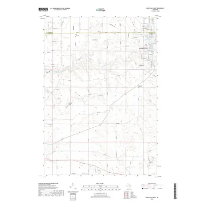
2018 Map of River Falls West
USGS Topo · Published 2018About this map
The Kinnickinnic River carves a deep valley through the glaciated landscape west of River Falls, defining the boundary between St. Croix and Pierce Counties. In the northern reaches, the community of Mann Valley sits atop the plateau near Melander Hill, while the southern portion of the map transitions into the drainage of Big River and the agricultural lands of Dry Run Coulee. Genealogists will find significant value in the distribution of rural burial grounds, including the Mann Valley Cem, Greenwood Valley Cem, and the Big River Presbyterian Cem further south. The terrain is notably marked by several named high points, such as Ashbaugh Mound and Yorks Mound, which served as distinct landmarks for early travelers and surveyors in this region of western Wisconsin.
Find a feature on this map
85 named features on this map. Tap any name to fly to it.
Don’t see what you’re looking for? This feature index may not catch every label — zoom into the map to look around manually.
Map Details
Editions of this 2018 River Falls West Map
This is the sole edition of this map. No revisions or reprints were ever made.
Other maps of this area

1944 · Red Wing
USGS Topo · 1:62,500

1946 · Hudson
USGS Topo · 1:62,500

1946 · River Falls
USGS Topo · 1:62,500

1949 · River Falls
USGS Topo · 1:62,500

1949 · Hudson
USGS Topo · 1:62,500

1949 · Hudson
USGS Topo · 1:24,000

1950 · Hudson
USGS Topo · 1:24,000

1951 · Prescott
USGS Topo · 1:24,000

1952 · Red Wing
USGS Topo · 1:62,500

1953 · Saint Paul
USGS Topo · 1:250,000