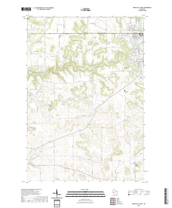
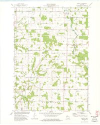
2022 Map of River Falls West
USGS Topo · Published 2022This historical map portrays the area of River Falls West in 2022, primarily covering Pierce County as well as portions of St. Croix County. Featuring a scale of 1:24000, this map provides a highly detailed snapshot of the terrain, roads, buildings, counties, and historical landmarks in the River Falls West region at the time. Published in 2022, it is the sole known edition of this map.
Find a feature on this map
98 named features on this map. Tap any name to fly to it.
Don’t see what you’re looking for? This feature index may not catch every label — zoom into the map to look around manually.
Map Details
Editions of this 2022 River Falls West Map
This is the sole edition of this map. No revisions or reprints were ever made.
Historical Maps of Oak Grove Through Time
17 maps found

1972 Nerike Hill
Pierce County, WI
1974 Diamond Bluff East
Pierce County, WI
1974 Diamond Bluff West
Pierce County, WI
1974 El Paso
Pierce County, WI
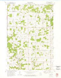
1974 Martell
Pierce County, WI
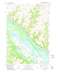
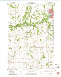
1974 River Falls East
Pierce County, WI
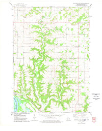
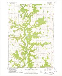
1974 River Falls West
Pierce County, WI
1974 Waverly
Pierce County, WI
1992 Diamond Bluff West
Pierce County, WI
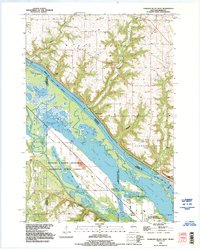
2022 Diamond Bluff East
Pierce County, WI
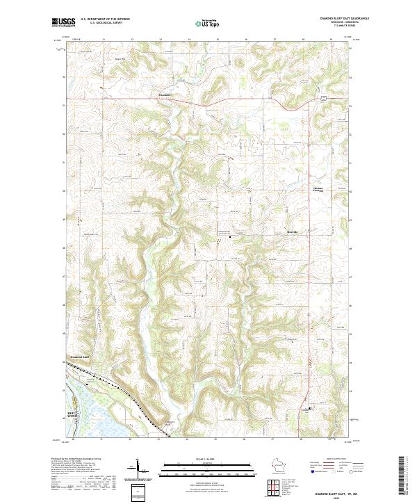
2022 Diamond Bluff West
Pierce County, WI
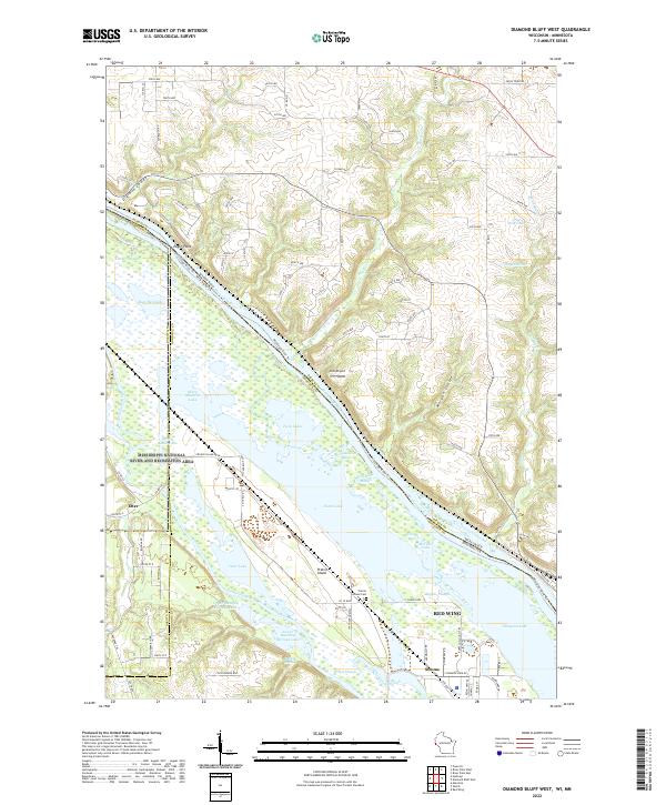
2022 El Paso
Pierce County, WI
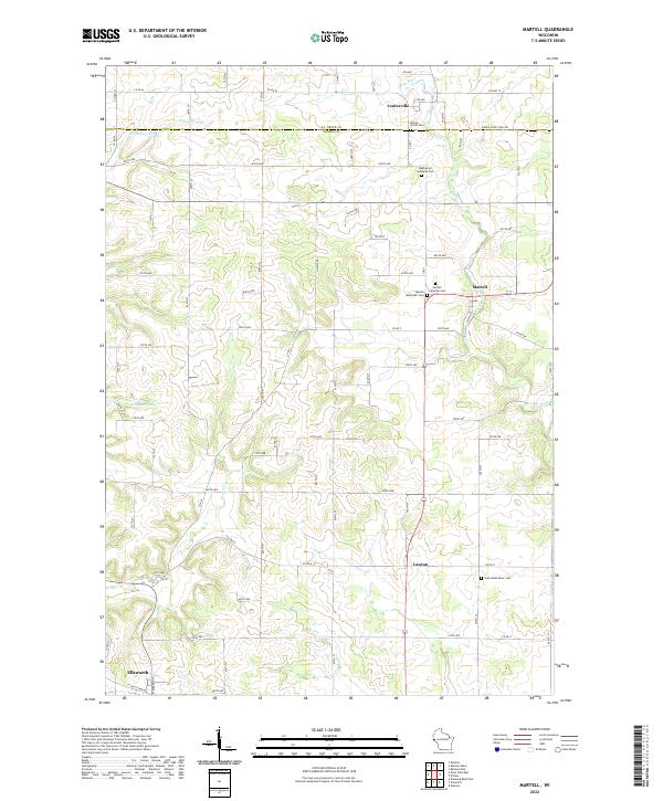
2022 Martell
Pierce County, WI
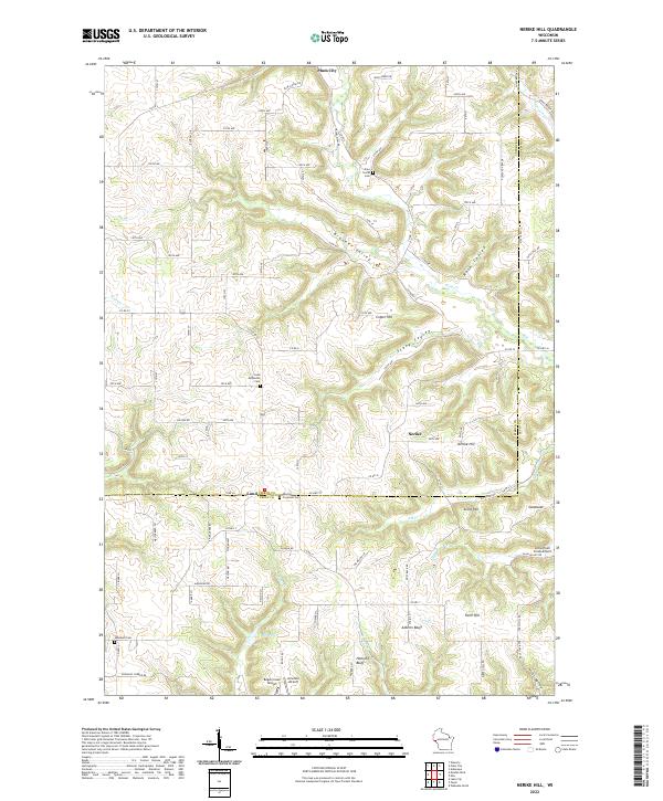
2022 Nerike Hill
Pierce County, WI
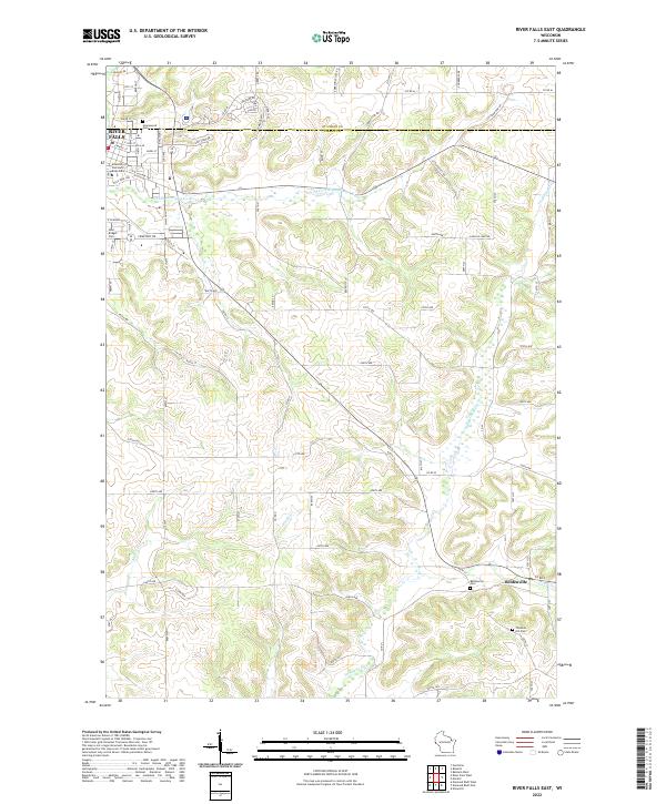
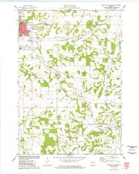
2022 River Falls East
Pierce County, WI
2022 River Falls West
Pierce County, WI
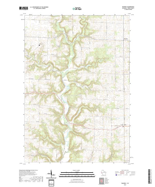
2022 Waverly
Pierce County, WI