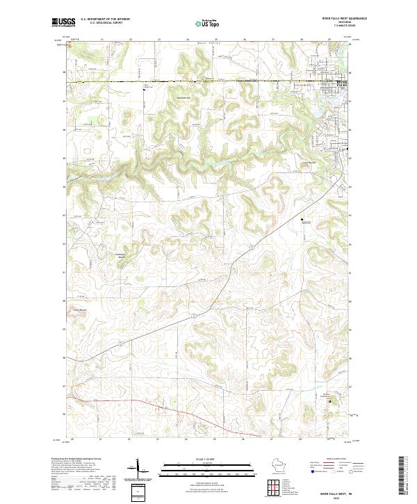
2022 Map of River Falls West
USGS Topo · Published 2022About this map
The Kinnickinnic River carves a winding path through this Pierce County landscape, defining the topography west of River Falls. This survey documents a transition from the structured residential blocks of the city to the expansive agricultural tracts of Mann Valley. The area is marked by distinctive glacial and geological features, including the prominent Melander Hill and several isolated elevations such as Lone Mound, Ashbaugh Mound, and Yorks Mound.
Find a feature on this map
98 named features on this map. Tap any name to fly to it.
Don’t see what you’re looking for? This feature index may not catch every label — zoom into the map to look around manually.
Map Details
Editions of this 2022 River Falls West Map
This is the sole edition of this map. No revisions or reprints were ever made.
Other maps of this area

1944 · Red Wing
USGS Topo · 1:62,500

1946 · Hudson
USGS Topo · 1:62,500

1946 · River Falls
USGS Topo · 1:62,500

1949 · River Falls
USGS Topo · 1:62,500

1949 · Hudson
USGS Topo · 1:62,500

1949 · Hudson
USGS Topo · 1:24,000

1950 · Hudson
USGS Topo · 1:24,000

1951 · Prescott
USGS Topo · 1:24,000

1952 · Red Wing
USGS Topo · 1:62,500

1953 · Saint Paul
USGS Topo · 1:250,000