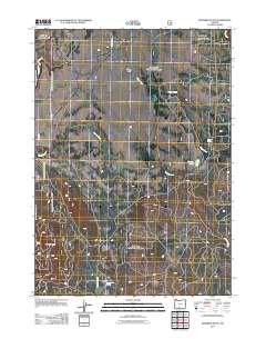
2011 Map of Riverbed Butte
USGS Topo · Published 2011About this map
Sycan Flat dominates this high-plateau landscape of south-central Oregon, where the headwaters of the Sycan River and Shake Creek carve a complex drainage network across the terrain. The 2011 survey reveals an environment defined by its water sources, including the isolated Klipple Lake and several named water points like Packsaddle Spring and Small Spring. Rising above the surrounding drainage basins, Riverbed Butte serves as a prominent landmark in a region primarily accessed by forest service roads such as Yellow Pine Rd and smaller tracks like Maple Way. The layout of these routes, along with the paths of Merritt Creek and Fivemile Creek, illustrates a landscape managed for natural resources and conservation at the start of the twenty-first century.
Find a feature on this map
12 named features on this map. Tap any name to fly to it.
Don’t see what you’re looking for? This feature index may not catch every label — zoom into the map to look around manually.
Map Details
Editions of this 2011 Riverbed Butte Map
This is the sole edition of this map. No revisions or reprints were ever made.
Other maps of this area

1889 · Klamath
USGS Topo · 1:250,000

1894 · Klamath
USGS Topo · 1:250,000

1955 · Klamath Falls
USGS Topo · 1:250,000

1958 · Klamath Falls
USGS Topo · 1:250,000

1960 · Riverbed Butte
USGS Topo · 1:62,500

1960 · Sycan Marsh
USGS Topo · 1:62,500

1966 · Shake Butte
USGS Topo · 1:24,000

1966 · Sandhill Crossing
USGS Topo · 1:24,000

1966 · Pole Butte
USGS Topo · 1:24,000

1974 · Lake Abert
USGS Topo · 1:100,000