
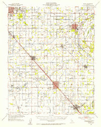
1924 Map of Riverdale
USGS Topo · Published 1924About this map
Riverdale serves as the primary hub in this 1924 landscape, situated along the Southern Pacific rail line during a period of intensive irrigation development in the San Joaquin Valley. The map documents an intricate network of waterways such as the Island Canal and South Island Canal, which diverted water across the sprawling Laguna de Tache grant area to support emerging agriculture. Rural life is anchored by local institutions like Liberty School, North Fork School, and Laguna School, which were the social hearts of their respective farming districts.
Find a feature on this map
32 named features on this map. Tap any name to fly to it.
Don’t see what you’re looking for? This feature index may not catch every label — zoom into the map to look around manually.
Map Details
Editions of this 1924 Riverdale Map
This is the sole edition of this map. No revisions or reprints were ever made.
Other maps of this area

1924 · Conejo
USGS Topo · 1:31,680

1925 · Raisin
USGS Topo · 1:31,680

1925 · Caruthers
USGS Topo · 1:31,680

1926 · Hanford
USGS Topo · 1:31,680

1926 · Lethent
USGS Topo · 1:31,680

1927 · Laton
USGS Topo · 1:31,680

1927 · Burrel
USGS Topo · 1:31,680

1927 · Riverdale
USGS Topo · 1:31,680

1927 · Lemoore
USGS Topo · 1:31,680
1946 · Selma
USGS Topo · 1:62,500