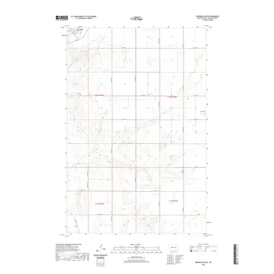
2020 Map of Riverdale South
USGS Topo · Published 2020About this map
Riverdale sits at the northern edge of this McLean County survey, organized around a tight residential grid including Iowa Ave and numbered streets from 3rd St to 10th St. The surrounding landscape is defined by the Public Land Survey System divisions of Townships 145 and 146 North, where a transition from a structured townsite to an expansive rural grid occurs. This 2020 layout preserves the primary arterial routes like Main St and Co Hwy 16, which connect the scattered homesteads and agricultural plots. The terrain is marked by numerous small depressions and wetlands typical of the Missouri Plateau, interspersed between section-line roads such as 35th Ave NW and 37th Ave SW. This map details the modern road network and land management boundaries in the vicinity of the Garrison Dam area.
Find a feature on this map
30 named features on this map. Tap any name to fly to it.
Don’t see what you’re looking for? This feature index may not catch every label — zoom into the map to look around manually.
Map Details
Editions of this 2020 Riverdale South Map
This is the sole edition of this map. No revisions or reprints were ever made.
Other maps of this area

1922 · Garrison
USGS Topo · 1:62,500

1929 · Coleharbor
USGS Topo · 1:62,500

1948 · Stanton
USGS Topo · 1:62,500

1949 · Stanton
USGS Topo · 1:62,500

1949 · Washburn
USGS Topo · 1:62,500

1954 · McClusky
USGS Topo · 1:250,000

1958 · McClusky
USGS Topo · 1:250,000

1961 · Underwood
USGS Topo · 1:24,000

1967 · Washburn SW
USGS Topo · 1:24,000

1967 · Stanton SE
USGS Topo · 1:24,000