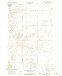
1972 Map of Riverdale South
USGS Topo · Published 1974About this map
Riverdale occupies the northwest corner of this 1970s landscape, situated on the high ground overlooking the wide valley of the Missouri River. The area is characterized by the upland terrain of Long Fellow, where the transition from the plateau down to the river's edge is marked by steep coulees and drainage patterns. Infrastructure in this era reflects a mix of utility and aviation, featuring a Substation, a Water Tank, and the Clark Landing Field located near the riverbank.
Find a feature on this map
12 named features on this map. Tap any name to fly to it.
Don’t see what you’re looking for? This feature index may not catch every label — zoom into the map to look around manually.
Map Details
Editions of this 1972 Riverdale South Map
This is the sole edition of this map. No revisions or reprints were ever made.
Other maps of this area

1922 · Garrison
USGS Topo · 1:62,500

1929 · Coleharbor
USGS Topo · 1:62,500

1948 · Stanton
USGS Topo · 1:62,500

1949 · Stanton
USGS Topo · 1:62,500

1949 · Washburn
USGS Topo · 1:62,500

1954 · McClusky
USGS Topo · 1:250,000

1958 · McClusky
USGS Topo · 1:250,000

1961 · Underwood
USGS Topo · 1:24,000

1967 · Washburn SW
USGS Topo · 1:24,000

1967 · Stanton SE
USGS Topo · 1:24,000