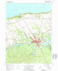
1956 Map of Riverhead
USGS Topo · Published 1965About this map
The Peconic River corridor serves as the central artery for this mid-century look at eastern Long Island, where the town of Riverhead sits at the junction of rail, road, and water. This period shows a landscape in transition, where established agricultural areas around Centerville and Baiting Hollow meet newer developments. The presence of the Peconic Cranberry Bog and the Riverhead Raceway illustrates the diverse land use of the era, from traditional wetland industries to modern recreation.
Find a feature on this map
80 named features on this map. Tap any name to fly to it.
Don’t see what you’re looking for? This feature index may not catch every label — zoom into the map to look around manually.
Map Details
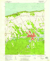
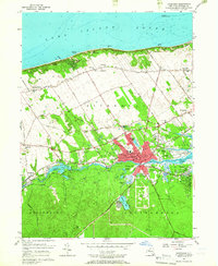
Editions of this 1956 Riverhead Map
3 editions found
Other maps of this area

1903 · Riverhead
USGS Topo · 1:62,500

1904 · Riverhead
USGS Topo · 1:62,500

1904 · Moriches
USGS Topo · 1:62,500

1943 · Riverhead
USGS Topo · 1:62,500

1947 · Mattituck
USGS Topo · 1:24,000

1947 · Mattituck Hills
USGS Topo · 1:24,000

1947 · Riverhead
USGS Topo · 1:24,000

1947 · Quogue
USGS Topo · 1:24,000

1947 · Eastport
USGS Topo · 1:24,000

1947 · Hartford
USGS Topo · 1:250,000