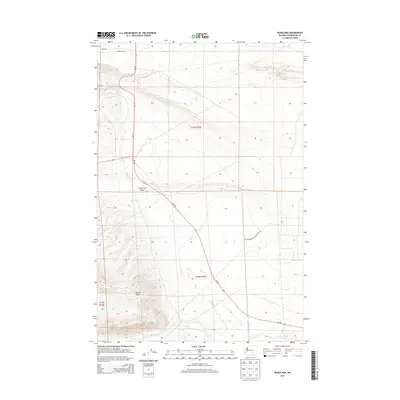
2013 Map of Riverland
USGS Topo · Published 2013About this map
Yakima Ridge rises in the southwestern portion of this landscape, overlooking the broad drainage of the Cold Creek Valley. This arid terrain in Benton County is defined by its intermittent watercourses and technical infrastructure, including the prominent Midway Sub Sta in the north near Riverland. The map illustrates a transition from the elevated ridge down into the flats where Cold Cr and Rattlesnake Cr converge. Regional transport is dictated by the corridors of Wa-24 and Wa-240, while the presence of the Us Department Of Energy Res Rd signals the area's proximity to government-managed lands. Small water features like Rattlesnake Spring and Dry Cr highlight the sparse but vital hydrology that shaped the early character of this high desert environment.
Find a feature on this map
14 named features on this map. Tap any name to fly to it.
Don’t see what you’re looking for? This feature index may not catch every label — zoom into the map to look around manually.
Map Details
Editions of this 2013 Riverland Map
This is the sole edition of this map. No revisions or reprints were ever made.
Other maps of this area

1915 · Prosser
USGS Topo · 1:125,000

1916 · Coyote Rapids
USGS Topo · 1:62,500

1917 · Priest Rapids
USGS Topo · 1:62,500

1917 · Prosser
USGS Topo · 1:125,000

1948 · Emerson Nipple
USGS Topo · 1:24,000

1950 · Grandview
USGS Topo · 1:62,500

1951 · Priest Rapids
USGS Topo · 1:62,500

1951 · Grandview
USGS Topo · 1:62,500

1951 · Corral Canyon
USGS Topo · 1:62,500

1951 · Coyote Rapids
USGS Topo · 1:62,500