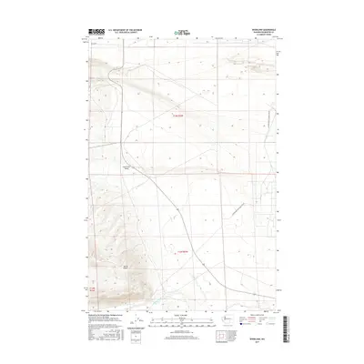
2017 Map of Riverland
USGS Topo · Published 2017About this map
Yakima Ridge dominates the southwestern corner of this Benton County landscape, where elevation contours reveal the steep ascent above the desert floor. This area is defined by its drainage patterns, with Rattlesnake Cr and the important local water source at Rattlesnake Spring drawing lines through the arid terrain. The map's geographic character is split between the open expanse of Cold Creek Valley and the restricted-access infrastructure indicated by the US Department of Energy Res Rd. Because this territory borders Department of Energy lands, the map documents a sparse but significant interface between natural features like Cold Cr and federal land management. It serves as a clear record of the high-desert topography before any modern industrial or agricultural shifts changed the drainage of Dry Cr.
Find a feature on this map
10 named features on this map. Tap any name to fly to it.
Don’t see what you’re looking for? This feature index may not catch every label — zoom into the map to look around manually.
Map Details
Editions of this 2017 Riverland Map
This is the sole edition of this map. No revisions or reprints were ever made.
Other maps of this area

1915 · Prosser
USGS Topo · 1:125,000

1916 · Coyote Rapids
USGS Topo · 1:62,500

1917 · Priest Rapids
USGS Topo · 1:62,500

1917 · Prosser
USGS Topo · 1:125,000

1948 · Emerson Nipple
USGS Topo · 1:24,000

1950 · Grandview
USGS Topo · 1:62,500

1951 · Priest Rapids
USGS Topo · 1:62,500

1951 · Grandview
USGS Topo · 1:62,500

1951 · Corral Canyon
USGS Topo · 1:62,500

1951 · Coyote Rapids
USGS Topo · 1:62,500