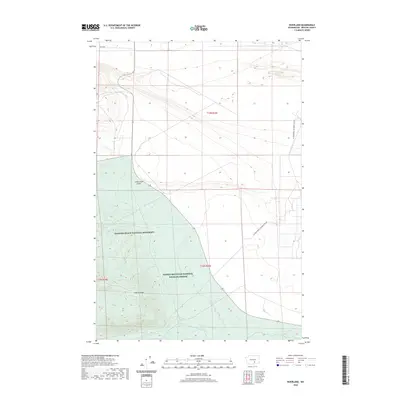
2020 Map of Riverland
USGS Topo · Published 2020About this map
Hanford Reach National Monument and the Saddle Mountain National Wildlife Refuge dominate this landscape in Benton County, where the high desert meets the protected reaches of the Columbia River corridor. The map reveals a transition from the level floor of Cold Creek Valley to the prominent rising slopes of Yakima Ridge in the southwest. This area is defined by its intermittent water sources and management by the Department of Energy, with the US Department of Energy Res Rd cutting across the eastern plains. Hydrological features like Rattlesnake Spring and the drainage of Cold Cr highlight the scarce but vital water resources that have shaped land use and conservation in this part of Washington. The preservation of these lands within the national monument system underscores their role as a buffer for the Hanford Site and a refuge for native shrub-steppe habitat.
Find a feature on this map
12 named features on this map. Tap any name to fly to it.
Don’t see what you’re looking for? This feature index may not catch every label — zoom into the map to look around manually.
Map Details
Editions of this 2020 Riverland Map
This is the sole edition of this map. No revisions or reprints were ever made.
Other maps of this area

1915 · Prosser
USGS Topo · 1:125,000

1916 · Coyote Rapids
USGS Topo · 1:62,500

1917 · Priest Rapids
USGS Topo · 1:62,500

1917 · Prosser
USGS Topo · 1:125,000

1948 · Emerson Nipple
USGS Topo · 1:24,000

1950 · Grandview
USGS Topo · 1:62,500

1951 · Priest Rapids
USGS Topo · 1:62,500

1951 · Grandview
USGS Topo · 1:62,500

1951 · Corral Canyon
USGS Topo · 1:62,500

1951 · Coyote Rapids
USGS Topo · 1:62,500