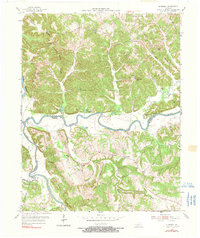
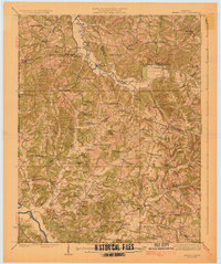
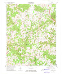
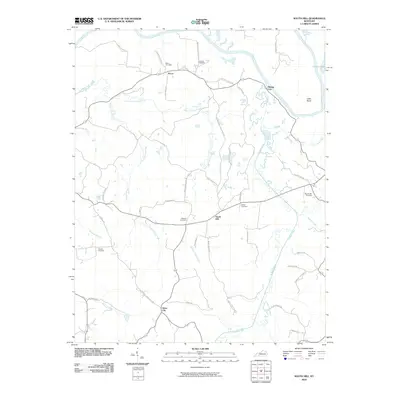
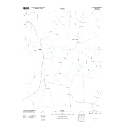
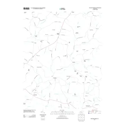
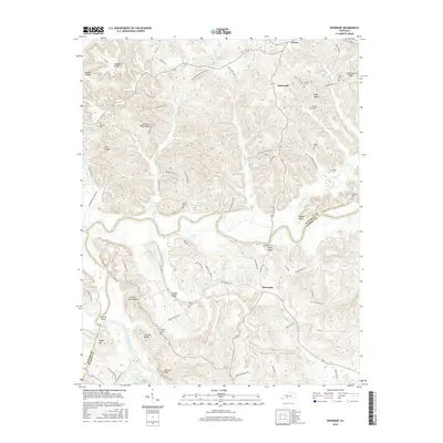
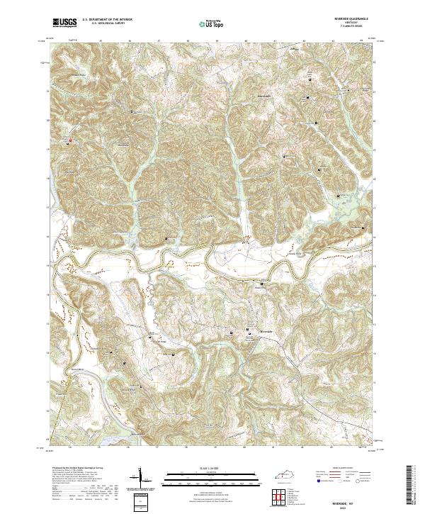
1954 Map of Riverside
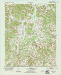
USGS Topo · Published 1990About this map
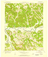
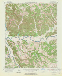
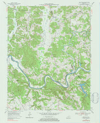
Riverside and Jetson anchor a landscape defined by the winding course of the Green River and its confluence with the Barren River at Sproul Bend. This mid-century survey reveals a deeply rural community supported by a dense network of country schools and churches. Educational landmarks like Cedar Grove Sch and Leonard Oak Sch are scattered across the ridges, while congregations gathered at Oak Forest Ch and Mt Union Ch. Family history is preserved in numerous small burial grounds such as the Johnson Cem, Peyton Cem, and Nudger Cem. The topography is marked by distinct ridges like Hogback Ridge and Lettered Rock Ridge, which forced a settlement pattern of isolated farmsteads and small crossroads connected by winding roads and a prominent pipeline corridor crossing the river valleys.
Find a feature on this map
53 named features on this map. Tap any name to fly to it.
Don’t see what you’re looking for? This feature index may not catch every label — zoom into the map to look around manually.
Map Details
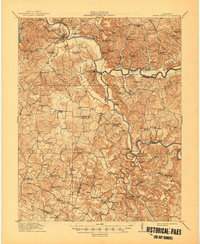
Editions of this 1954 Riverside Map
3 editions found
Historical Maps of Riverside Through Time
46 maps found
1914 Little Muddy
Butler County, KY
1925 Spring Lick
Butler County, KY
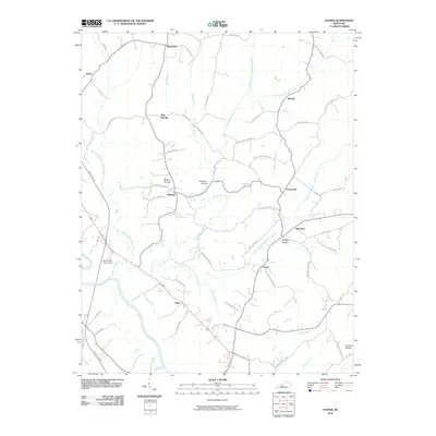
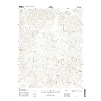
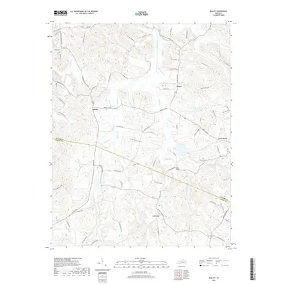
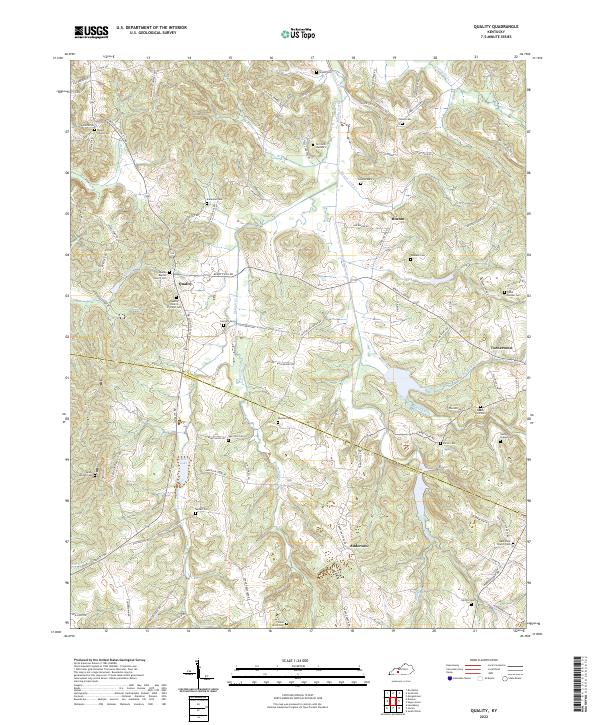
1953 Quality
Butler County, KY
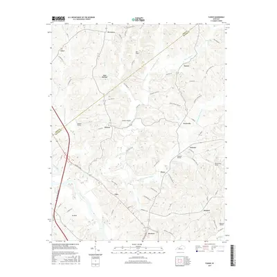
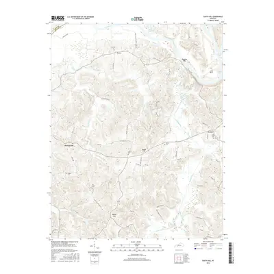
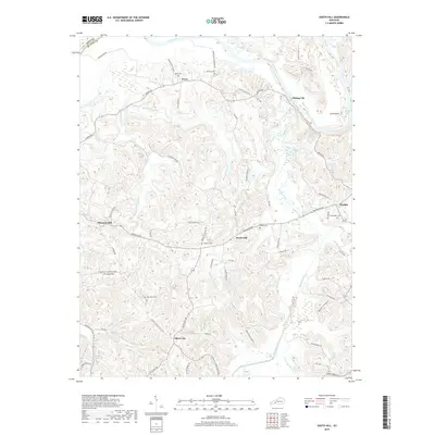
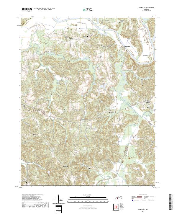
1953 South Hill
Butler County, KY
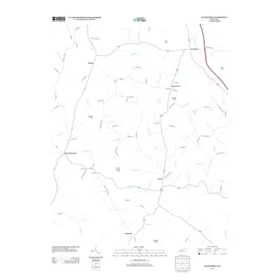
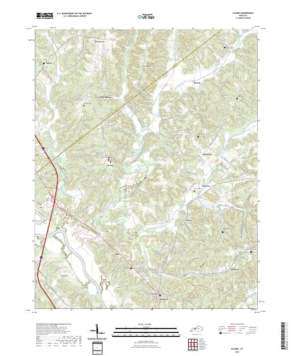
1954 Flener
Butler County, KY
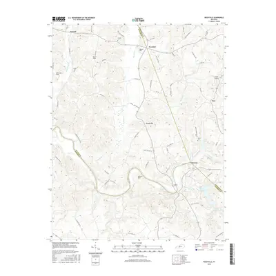
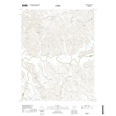
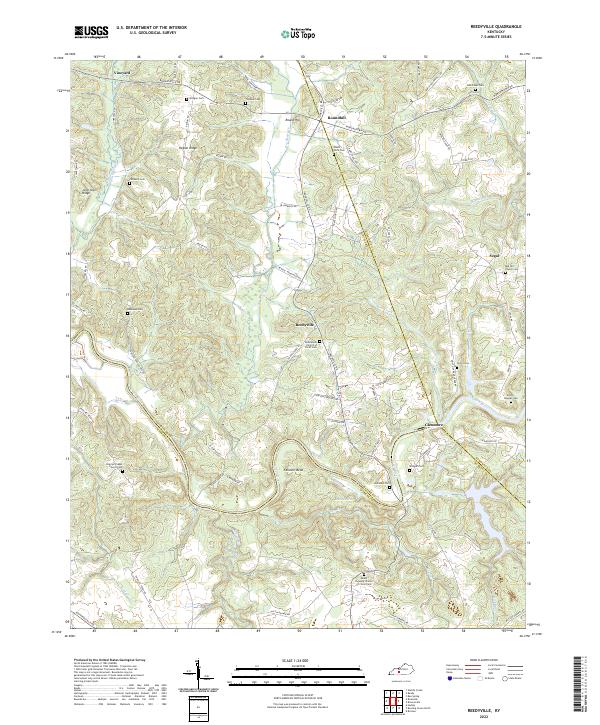
1954 Reedyville
Butler County, KY
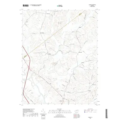
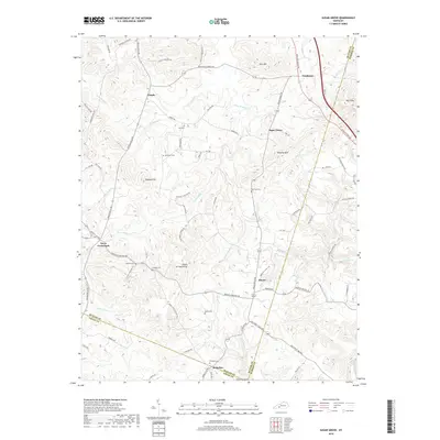
1954 Riverside
Butler County, KY
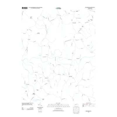
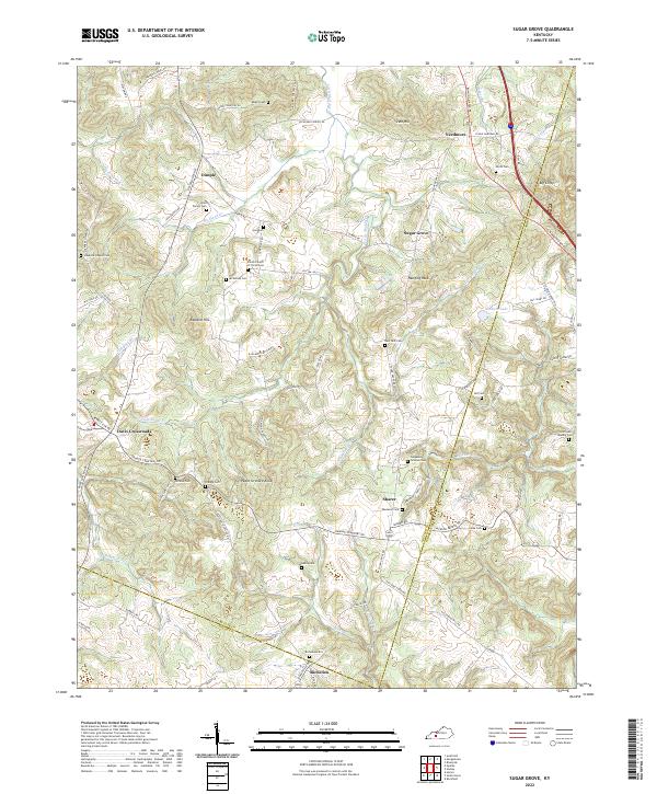
1954 Sugar Grove
Butler County, KY
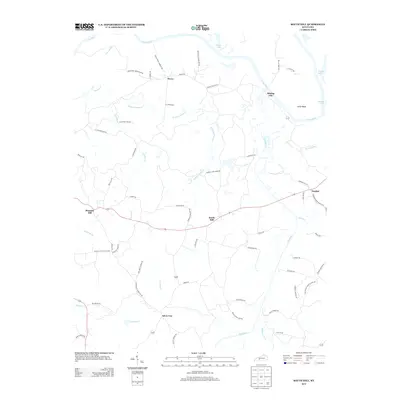
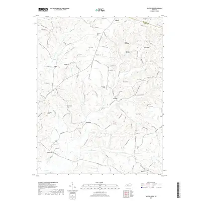
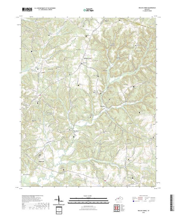
1954 Welchs Creek
Butler County, KY
1973 Flener
Butler County, KY
1973 Sugar Grove
Butler County, KY
2010 Flener
Butler County, KY
2010 Quality
Butler County, KY

2010 Reedyville
Butler County, KY
2010 Riverside
Butler County, KY
2010 South Hill
Butler County, KY
2010 Sugar Grove
Butler County, KY
2010 Welchs Creek
Butler County, KY
2013 Flener
Butler County, KY
2013 Quality
Butler County, KY

2013 Reedyville
Butler County, KY
2013 Riverside
Butler County, KY
2013 South Hill
Butler County, KY
2013 Sugar Grove
Butler County, KY
2013 Welchs Creek
Butler County, KY
2016 Flener
Butler County, KY
2016 Quality
Butler County, KY
2016 Reedyville
Butler County, KY
2016 Riverside
Butler County, KY
2016 South Hill
Butler County, KY
2016 Sugar Grove
Butler County, KY
2016 Welchs Creek
Butler County, KY
2019 Flener
Butler County, KY
2019 Quality
Butler County, KY

2019 Reedyville
Butler County, KY
2019 Riverside
Butler County, KY
2019 South Hill
Butler County, KY
2019 Sugar Grove
Butler County, KY
2019 Welchs Creek
Butler County, KY
2022 Flener
Butler County, KY
2022 Quality
Butler County, KY
2022 Reedyville
Butler County, KY
2022 Riverside
Butler County, KY
2022 South Hill
Butler County, KY
2022 Sugar Grove
Butler County, KY
2022 Welchs Creek
Butler County, KY