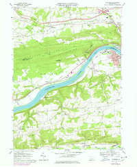
1969 Map of Riverside
USGS Topo · Published 1978About this map
The Susquehanna River carves a deep valley through the ridges of Northumberland and Montour counties, defining the transport and settlement patterns of this 1969 survey. Along the southern bank, the town of Riverside sits adjacent to the Danville Airport, while the Conrail lines follow the river's path, serving industrial sites like the Pumping Sta and the former Franklin Furnace. The terrain is dominated by the steep slopes of Montour Ridge and Bald Top, with much of the high ground preserved within State Game Lands No 115.
Find a feature on this map
65 named features on this map. Tap any name to fly to it.
Don’t see what you’re looking for? This feature index may not catch every label — zoom into the map to look around manually.
Map Details
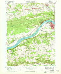
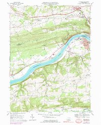
Editions of this 1969 Riverside Map
3 editions found
Other maps of this area

1892 · Shamokin
USGS Topo · 1:62,500

1893 · Sunbury
USGS Topo · 1:62,500

1893 · Shamokin
USGS Topo · 1:62,500

1924 · Milton
USGS Topo · 1:62,500

1935 · Hughesville
USGS Topo · 1:62,500

1943 · Shamokin
USGS Topo · 1:62,500

1943 · Sunbury
USGS Topo · 1:62,500

1950 · Harrisburg
USGS Topo · 1:250,000

1952 · Shamokin
USGS Topo · 1:62,500

1953 · Hughesville
USGS Topo · 1:62,500