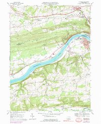
1969 Map of Riverside
USGS Topo · Published 1978About this map
The Susquehanna River carves through the landscape between Montour Ridge and Bald Top, anchoring a region of industrial heritage and dispersed agricultural settlements. In the late 1960s, the borough of Riverside sat across from the commercial center of Danville, while small rural hubs like Mooresburg, Mausdale, and Snydertown maintained their distinct identities. The map reveals the area's transition, showing the path of the Conrail lines alongside remnants of earlier iron industry at Franklin Furnace near the confluence of Mauses Creek.
Find a feature on this map
52 named features on this map. Tap any name to fly to it.
Don’t see what you’re looking for? This feature index may not catch every label — zoom into the map to look around manually.
Map Details
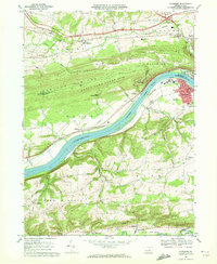
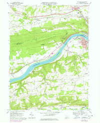
Editions of this 1969 Riverside Map
3 editions found
Other maps of this area

1892 · Shamokin
USGS Topo · 1:62,500

1893 · Sunbury
USGS Topo · 1:62,500

1893 · Shamokin
USGS Topo · 1:62,500

1924 · Milton
USGS Topo · 1:62,500

1935 · Hughesville
USGS Topo · 1:62,500

1943 · Shamokin
USGS Topo · 1:62,500

1943 · Sunbury
USGS Topo · 1:62,500

1950 · Harrisburg
USGS Topo · 1:250,000

1952 · Shamokin
USGS Topo · 1:62,500

1953 · Hughesville
USGS Topo · 1:62,500