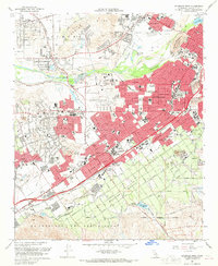
1967 Map of Riverside West
USGS Topo · Published 1969About this map
The Santa Ana River carves through the landscape of the Inland Empire in the late 1960s, delineating a region of rapid post-war expansion and established institutional history. The survey highlights the prominence of educational and cultural sites, from the sprawling grounds of the Sherman Indian Institute and California Baptist College to the numerous neighborhood schools like Norte Vista High Sch and Chemawa Jr High Sch. Residential development in Riverside, Arlington, and Pedley is contrasted by the lingering agricultural character of Arlington Heights, where the Mockingbird Res and a network of flumes and canals reflect the area's citrus-growing legacy.
Find a feature on this map
76 named features on this map. Tap any name to fly to it.
Don’t see what you’re looking for? This feature index may not catch every label — zoom into the map to look around manually.
Map Details
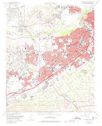
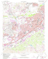
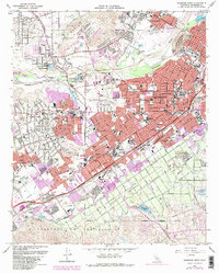
Editions of this 1967 Riverside West Map
4 editions found
Other maps of this area

1896 · San Bernardino
USGS Topo · 1:62,500

1897 · Cucamonga
USGS Topo · 1:62,500

1898 · San Bernardino
USGS Topo · 1:62,500

1900 · Cucamonga
USGS Topo · 1:62,500

1901 · Southern California Sheet No. 1
USGS Topo · 1:250,000

1901 · San Bernardino
USGS Topo · 1:62,500

1901 · Elsinore
USGS Topo · 1:125,000

1901 · Riverside
USGS Topo · 1:62,500

1902 · Corona
USGS Topo · 1:125,000

1903 · Cucamonga
USGS Topo · 1:62,500