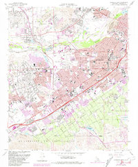
1967 Map of Riverside West
USGS Topo · Published 1981About this map
The Santa Ana River winds through the heart of this Southern California landscape, separating the residential growth of Rubidoux from the expansive downtown and suburban districts of Riverside. This 1967 survey, updated with 1980 photorevisions, documents a period of rapid development where old citrus-growing legacies meet modern infrastructure. Large institutional landmarks like La Sierra College and the California School for the Deaf anchor their respective neighborhoods, while the Union Pacific and Atchison Topeka and Santa Fe railroads define the industrial and transport corridors. The map highlights significant open spaces and landmarks such as Mount Rubidoux, the Evergreen Cemetery, and the Riverside Municipal Airport. From the older settlements of Arlington and Casa Blanca to the man-made Mockingbird Reservoir, the sheet provides a detailed view of the regional transition from agricultural roots to a dense suburban hub.
Find a feature on this map
52 named features on this map. Tap any name to fly to it.
Don’t see what you’re looking for? This feature index may not catch every label — zoom into the map to look around manually.
Map Details
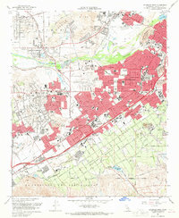
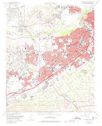
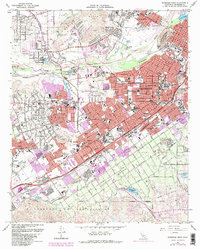
Editions of this 1967 Riverside West Map
4 editions found
Other maps of this area

1896 · San Bernardino
USGS Topo · 1:62,500

1897 · Cucamonga
USGS Topo · 1:62,500

1898 · San Bernardino
USGS Topo · 1:62,500

1900 · Cucamonga
USGS Topo · 1:62,500

1901 · Southern California Sheet No. 1
USGS Topo · 1:250,000

1901 · San Bernardino
USGS Topo · 1:62,500

1901 · Elsinore
USGS Topo · 1:125,000

1901 · Riverside
USGS Topo · 1:62,500

1902 · Corona
USGS Topo · 1:125,000

1903 · Cucamonga
USGS Topo · 1:62,500