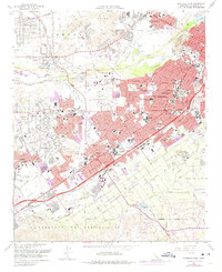
1967 Map of Riverside West
USGS Topo · Published 1975About this map
The Santa Ana River carves a wide path through this Inland Empire landscape, separating the rugged Jurupa Mountains and Jurupa Hills from the rapidly expanding urban center of Riverside. This mid-century survey reveals a city in transition, where legacy infrastructure like the Gage Canal and the historic Evergreen Cemetery meet the infrastructure of a growing regional hub, including the Riverside Municipal Airport and Flabob Airport. The map highlights a dense network of educational and institutional sites, from La Sierra College and the Sherman Indian Institute to the California School for the Deaf.
Find a feature on this map
62 named features on this map. Tap any name to fly to it.
Don’t see what you’re looking for? This feature index may not catch every label — zoom into the map to look around manually.
Map Details
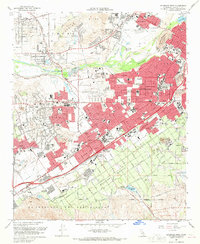
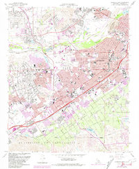
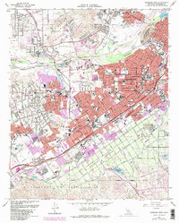
Editions of this 1967 Riverside West Map
4 editions found
Other maps of this area

1896 · San Bernardino
USGS Topo · 1:62,500

1897 · Cucamonga
USGS Topo · 1:62,500

1898 · San Bernardino
USGS Topo · 1:62,500

1900 · Cucamonga
USGS Topo · 1:62,500

1901 · Southern California Sheet No. 1
USGS Topo · 1:250,000

1901 · San Bernardino
USGS Topo · 1:62,500

1901 · Elsinore
USGS Topo · 1:125,000

1901 · Riverside
USGS Topo · 1:62,500

1902 · Corona
USGS Topo · 1:125,000

1903 · Cucamonga
USGS Topo · 1:62,500