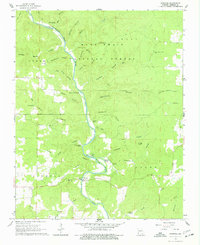
1965 Map of Riverton
USGS Topo · Published 1977About this map
The Eleven Point River winds through the heart of the Mark Twain National Forest in this mid-1960s survey of Oregon County. The landscape is defined by a dense network of springs and hollows, such as Bliss Spring, Powder Mill Spring, and the unique Bozé Mill Spr. The small community of Riverton serves as a local hub near the river crossing, featuring the Riverton Church and a Gaging Station to monitor the waterway’s flow.
Find a feature on this map
47 named features on this map. Tap any name to fly to it.
Don’t see what you’re looking for? This feature index may not catch every label — zoom into the map to look around manually.
Map Details
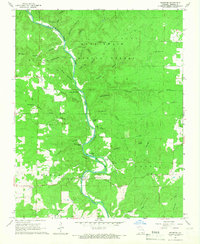
Editions of this 1965 Riverton Map
2 editions found
Other maps of this area

1931 · Bandyville
USGS Topo · 1:48,000

1941 · Gatewood
USGS Topo · 1:62,500

1944 · Van Buren
USGS Topo · 1:62,500

1944 · Couch
USGS Topo · 1:62,500

1944 · Birch Tree
USGS Topo · 1:62,500

1945 · Gatewood
USGS Topo · 1:62,500

1946 · Couch
USGS Topo · 1:62,500

1946 · Van Buren
USGS Topo · 1:62,500

1948 · Birch Tree
USGS Topo · 1:62,500

1957 · Poplar Bluff
USGS Topo · 1:250,000