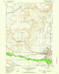
1959 Map of Riverton West
USGS Topo · Published 1961About this map
Wind River irrigation and reclamation infrastructure dominates this mid-century portrait of the Wyoming interior. The extensive Riverton Reclamation Withdrawal Area and the Wind River Indian Reservation Boundary frame the landscape, which is crisscrossed by essential water engineering like the Pilot Canal and Riverton No 2 Canal. The settlement of Riverton is shown in detail, including its civic core with City Hall, the Post Office, and Ashgrove Sch. Beyond the residential blocks, the map records the recreational and institutional life of the era, from the Rodeo Ground and Riverton Country Club to the Prison Farm. The presence of the Chicago and North Western railroad and the Riverton Municipal Airport underscores the town's role as a regional transportation hub during a period of managed growth.
Find a feature on this map
53 named features on this map. Tap any name to fly to it.
Don’t see what you’re looking for? This feature index may not catch every label — zoom into the map to look around manually.
Map Details
Editions of this 1959 Riverton West Map
2 editions found
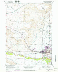
Other maps of this area

1950 · Riverton East
USGS Topo · 1:24,000

1950 · Ocean Lake
USGS Topo · 1:24,000

1951 · Pavillion SE
USGS Topo · 1:24,000

1951 · Riverton West
USGS Topo · 1:24,000

1952 · Riverton NE
USGS Topo · 1:24,000

1952 · Lost Wells Butte
USGS Topo · 1:24,000

1952 · Hudson
USGS Topo · 1:24,000

1953 · Arapahoe NE
USGS Topo · 1:24,000

1953 · Arapahoe
USGS Topo · 1:24,000

1955 · Thermopolis
USGS Topo · 1:250,000