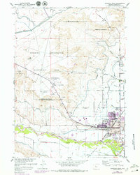
1959 Map of Riverton West
USGS Topo · Published 1979About this map
The high plains of Riverton are defined by a complex network of irrigation infrastructure and municipal growth along the Wind River. This late-1950s survey, with updates from the 1970s, details the Riverton Reclamation Withdrawal Area and its influence on the landscape. The city center is a hub of activity, featuring the Fremont County Fairground, Ashgrove Sch, and the Chicago and North Western railroad line. To the west, the Riverton Municipal Airport and the Rodeo Ground sit near the prominent Griffey Hill.
Find a feature on this map
57 named features on this map. Tap any name to fly to it.
Don’t see what you’re looking for? This feature index may not catch every label — zoom into the map to look around manually.
Map Details
Editions of this 1959 Riverton West Map
2 editions found
Other maps of this area

1950 · Riverton East
USGS Topo · 1:24,000

1950 · Ocean Lake
USGS Topo · 1:24,000

1951 · Pavillion SE
USGS Topo · 1:24,000

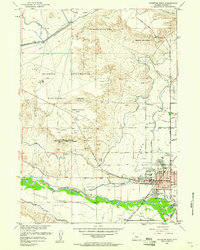
1951 · Riverton West
USGS Topo · 1:24,000

1952 · Riverton NE
USGS Topo · 1:24,000

1952 · Lost Wells Butte
USGS Topo · 1:24,000

1952 · Hudson
USGS Topo · 1:24,000

1953 · Arapahoe NE
USGS Topo · 1:24,000

1953 · Arapahoe
USGS Topo · 1:24,000

1955 · Thermopolis
USGS Topo · 1:250,000