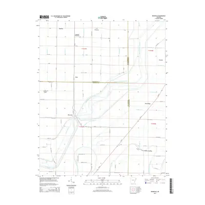
2014 Map of Rivervale
USGS Topo · Published 2014About this map
The Right Hand Chute Little River and Left Hand Chute Little River define the intricate drainage patterns of this Northeast Arkansas landscape at the junction of Craighead, Poinsett, and Mississippi counties. The terrain is dominated by an extensive network of managed waterways, including Ditch Number 53 and Ditch Number 12, which serve the agricultural lands surrounding settlements like Rivervale and West Ridge.
Find a feature on this map
85 named features on this map. Tap any name to fly to it.
Don’t see what you’re looking for? This feature index may not catch every label — zoom into the map to look around manually.
Map Details
Editions of this 2014 Rivervale Map
This is the sole edition of this map. No revisions or reprints were ever made.
Other maps of this area

1939 · Evadale
USGS Topo · 1:62,500

1941 · Leachville
USGS Topo · 1:62,500

1941 · Manila
USGS Topo · 1:62,500

1941 · Marked Tree
USGS Topo · 1:62,500

1953 · Memphis
USGS Topo · 1:250,000

1956 · Leachville
USGS Topo · 1:62,500

1956 · Manila
USGS Topo · 1:62,500

1956 · Evadale
USGS Topo · 1:62,500

1956 · Marked Tree
USGS Topo · 1:62,500

1956 · Memphis
USGS Topo · 1:250,000