2024 Map of Rivervale
USGS Topo · Published 2024About this map
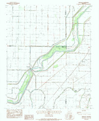
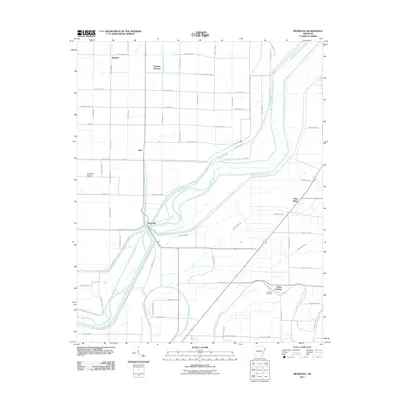
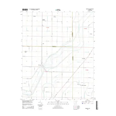
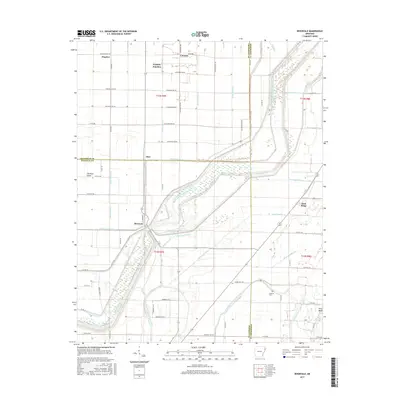
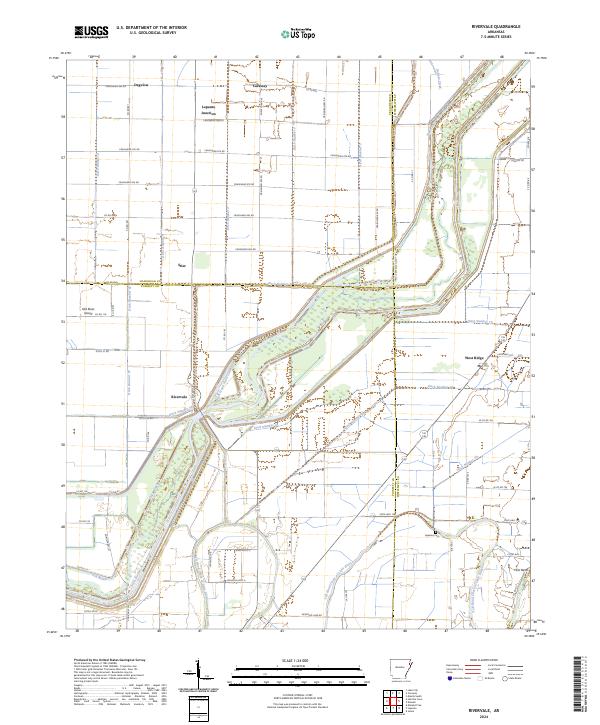
The Right Hand Chute Little River and Left Hand Chute of Little River dominate this landscape, winding through a complex network of man-made drainage channels such as Ditch Number 4 and Ditch Number 5. This extensive hydraulic system reflects the agricultural transformation of the Arkansas Delta, where former wetlands were methodically drained to create fertile farmland. Small rural settlements like Rivervale and West Ridge are positioned along these waterways and regional roads, serving as nodes for the local farming community.
Find a feature on this map
77 named features on this map. Tap any name to fly to it.
Don’t see what you’re looking for? This feature index may not catch every label — zoom into the map to look around manually.
Map Details
Editions of this 2024 Rivervale Map
This is the sole edition of this map. No revisions or reprints were ever made.
Historical Maps of Caraway Through Time
6 maps found