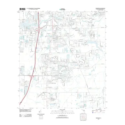
2012 Map of Riverview
USGS Topo · Published 2012About this map
The Alafia River defines the northern landscape of this Hillsborough County survey, crossed by the Riverview Bridge as it flows past the community of Cedar Grove. This 2012 documentation illustrates the suburban character of the region, where residential developments with names like Treasure Byu and Lakeside Vista Dr coexist with remnants of the area's agricultural past. Traces of previous land use are visible in the Lee Commercial Groves and Krystal Citrus Grove, while the Samford Cem offers a point of interest for genealogists. The southern portion is dominated by the drainage networks of Bullfrog Cr and Little Bullfrog Cr, punctuated by the Brown Lookout Tower. This snapshot captures a period of transition, where professional hubs like Boyette Professional Park have emerged alongside older family-named landmarks and water features.
Find a feature on this map
233 named features on this map. Tap any name to fly to it.
Don’t see what you’re looking for? This feature index may not catch every label — zoom into the map to look around manually.
Map Details
Editions of this 2012 Riverview Map
This is the sole edition of this map. No revisions or reprints were ever made.
Other maps of this area

1921 · Tampa
USGS Topo · 1:62,500

1944 · Mango
USGS Topo · 1:31,680

1944 · Ruskin
USGS Topo · 1:31,680

1944 · Tampa
USGS Topo · 1:31,680

1944 · Wimauma
USGS Topo · 1:31,680

1944 · Balm
USGS Topo · 1:31,680

1945 · Gadsden Point
USGS Topo · 1:31,680
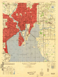
1947 · Tampa
USGS Topo · 1:25,000

1947 · Ruskin
USGS Topo · 1:25,000

1947 · Wimauma
USGS Topo · 1:25,000