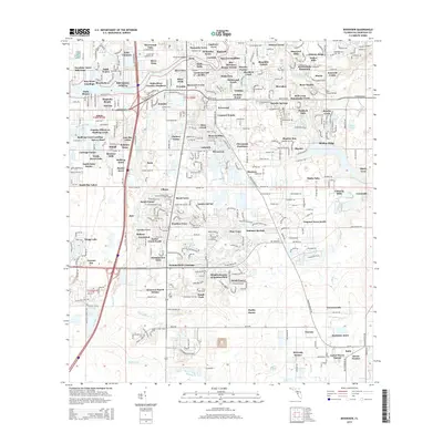
2015 Map of Riverview
USGS Topo · Published 2015About this map
The Alafia River corridor defines the landscape of this 2015 Hillsborough County study, illustrating the dense residential development south of Tampa. Numerous named subdivisions such as Sunshine Acres, Summerfield Crossings, and Summerview Oaks dominate the landscape, showcasing the rapid suburban expansion of the early 21st century. The map traces the winding paths of Bullfrog Creek and its tributary, Little Bullfrog Cr, which provide natural breaks in the grid of local streets and modern estates.
Find a feature on this map
158 named features on this map. Tap any name to fly to it.
Don’t see what you’re looking for? This feature index may not catch every label — zoom into the map to look around manually.
Map Details
Editions of this 2015 Riverview Map
This is the sole edition of this map. No revisions or reprints were ever made.
Other maps of this area

1921 · Tampa
USGS Topo · 1:62,500

1944 · Mango
USGS Topo · 1:31,680

1944 · Ruskin
USGS Topo · 1:31,680

1944 · Tampa
USGS Topo · 1:31,680

1944 · Wimauma
USGS Topo · 1:31,680

1944 · Balm
USGS Topo · 1:31,680

1945 · Gadsden Point
USGS Topo · 1:31,680
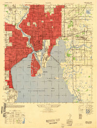
1947 · Tampa
USGS Topo · 1:25,000

1947 · Ruskin
USGS Topo · 1:25,000

1947 · Wimauma
USGS Topo · 1:25,000