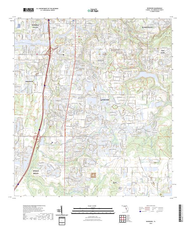
2024 Map of Riverview
USGS Topo · Published 2024About this map
The Alafia River winds through the northern reaches of this Hillsborough County landscape, serving as a primary corridor for both recreation and residential development. This modern survey illustrates the expansive growth of communities like Riverview and Bloomingdale, where suburban networks now interface with established conservation areas. The map details a transition from the dense residential grids of Progress Village and Apollo Beach in the west toward the more open, preserved lands to the east and south.
Find a feature on this map
26 named features on this map. Tap any name to fly to it.
Don’t see what you’re looking for? This feature index may not catch every label — zoom into the map to look around manually.
Map Details
Editions of this 2024 Riverview Map
This is the sole edition of this map. No revisions or reprints were ever made.
Other maps of this area

1921 · Tampa
USGS Topo · 1:62,500

1944 · Mango
USGS Topo · 1:31,680

1944 · Ruskin
USGS Topo · 1:31,680

1944 · Tampa
USGS Topo · 1:31,680

1944 · Wimauma
USGS Topo · 1:31,680

1944 · Balm
USGS Topo · 1:31,680

1945 · Gadsden Point
USGS Topo · 1:31,680
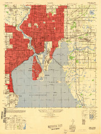
1947 · Tampa
USGS Topo · 1:25,000

1947 · Ruskin
USGS Topo · 1:25,000

1947 · Wimauma
USGS Topo · 1:25,000