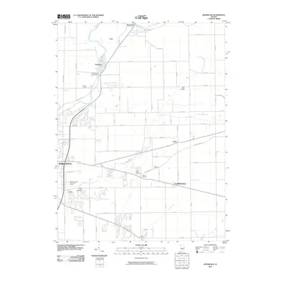
2010 Map of Riverwood
USGS Topo · Published 2010About this map
The White River winds through the northern portion of this landscape, anchoring the small settlements of Strawtown, Clare, and Riverwood. This 2010 survey highlights the local industrial and utility infrastructure, specifically the Riverwood Power Dam, alongside the natural drainage of Stony Creek and Sand Creek. The area maintains a blend of rural township roads and developing suburban fringes on the outskirts of Noblesville and Clarksville.
Find a feature on this map
61 named features on this map. Tap any name to fly to it.
Don’t see what you’re looking for? This feature index may not catch every label — zoom into the map to look around manually.
Map Details
Editions of this 2010 Riverwood Map
This is the sole edition of this map. No revisions or reprints were ever made.
Other maps of this area

1952 · Fishers
USGS Topo · 1:24,000

1952 · Ingalls
USGS Topo · 1:24,000

1952 · Mc Cordsville
USGS Topo · 1:24,000

1953 · Lapel
USGS Topo · 1:24,000

1953 · Riverwood
USGS Topo · 1:24,000

1953 · Noblesville
USGS Topo · 1:24,000

1953 · Cincinnati
USGS Topo · 1:250,000

1953 · Danville
USGS Topo · 1:250,000

1953 · Indianapolis
USGS Topo · 1:250,000

1953 · Muncie
USGS Topo · 1:250,000