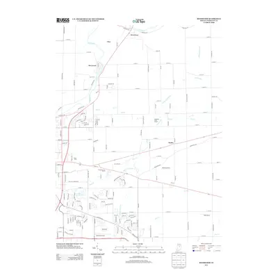
2013 Map of Riverwood
USGS Topo · Published 2013About this map
White River meanders through the northern Hamilton County landscape, anchoring settlements such as Riverwood and Strawtown. This 2013 snapshot of the region reflects a transition from traditional agricultural use to residential expansion and small-scale aviation. The area is dotted with private and local airfields, including Creekside Farm Airport, Galloway Airport, and Poole Airport, suggesting a unique local flying culture or significant private landholdings.
Find a feature on this map
137 named features on this map. Tap any name to fly to it.
Don’t see what you’re looking for? This feature index may not catch every label — zoom into the map to look around manually.
Map Details
Editions of this 2013 Riverwood Map
This is the sole edition of this map. No revisions or reprints were ever made.
Other maps of this area

1952 · Fishers
USGS Topo · 1:24,000

1952 · Ingalls
USGS Topo · 1:24,000

1952 · Mc Cordsville
USGS Topo · 1:24,000

1953 · Lapel
USGS Topo · 1:24,000

1953 · Riverwood
USGS Topo · 1:24,000

1953 · Noblesville
USGS Topo · 1:24,000

1953 · Cincinnati
USGS Topo · 1:250,000

1953 · Danville
USGS Topo · 1:250,000

1953 · Indianapolis
USGS Topo · 1:250,000

1953 · Muncie
USGS Topo · 1:250,000