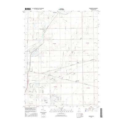
2016 Map of Riverwood
USGS Topo · Published 2016About this map
The White River winds through the northern reach of this Hamilton County landscape, anchoring a series of small riverside and crossroads communities. This 2016 survey documents the suburban expansion and rural heritage of the area, where the historic settlement of Strawtown sits near the river bend north of Clare. The map reveals a high density of local history markers, including the Zimmer Cem and Prairie Baptist Cem, alongside specialized infrastructure like the Noblesville Airport and Creekside Farm Airport. A complex network of drainage ditches, such as William Lock Ditch and Gwinn Ditch, illustrates the intensive agricultural management of the flat terrain. Near Riverwood, the landscape becomes more intricate with features like Swan Lake and Triangle Lagoon, while the southern portion of the sheet is defined by the winding course of Stony Creek and the township boundaries of t18n r5e and t18n r6e.
Find a feature on this map
122 named features on this map. Tap any name to fly to it.
Don’t see what you’re looking for? This feature index may not catch every label — zoom into the map to look around manually.
Map Details
Editions of this 2016 Riverwood Map
This is the sole edition of this map. No revisions or reprints were ever made.
Other maps of this area

1952 · Fishers
USGS Topo · 1:24,000

1952 · Ingalls
USGS Topo · 1:24,000

1952 · Mc Cordsville
USGS Topo · 1:24,000

1953 · Lapel
USGS Topo · 1:24,000

1953 · Riverwood
USGS Topo · 1:24,000

1953 · Noblesville
USGS Topo · 1:24,000

1953 · Cincinnati
USGS Topo · 1:250,000

1953 · Danville
USGS Topo · 1:250,000

1953 · Indianapolis
USGS Topo · 1:250,000

1953 · Muncie
USGS Topo · 1:250,000