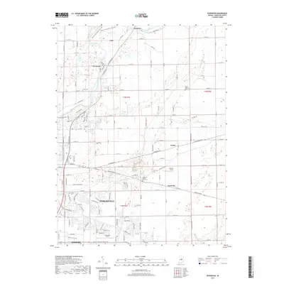
2019 Map of Riverwood
USGS Topo · Published 2019About this map
The White River winds through this Central Indiana landscape, serving as a geographic anchor for the communities of Noblesville and Fishers. This survey reflects the suburban growth and historical rural roots of Hamilton County, where established neighborhoods meet open fields and managed waterways. Numerous small family and community burial sites are preserved across the area, including Zimmer Cem, Stony Creek Cem, and Ervin Cem, offering valuable points of reference for local genealogical research.
Find a feature on this map
108 named features on this map. Tap any name to fly to it.
Don’t see what you’re looking for? This feature index may not catch every label — zoom into the map to look around manually.
Map Details
Editions of this 2019 Riverwood Map
This is the sole edition of this map. No revisions or reprints were ever made.
Other maps of this area

1952 · Fishers
USGS Topo · 1:24,000

1952 · Ingalls
USGS Topo · 1:24,000

1952 · Mc Cordsville
USGS Topo · 1:24,000

1953 · Lapel
USGS Topo · 1:24,000

1953 · Riverwood
USGS Topo · 1:24,000

1953 · Noblesville
USGS Topo · 1:24,000

1953 · Cincinnati
USGS Topo · 1:250,000

1953 · Danville
USGS Topo · 1:250,000

1953 · Indianapolis
USGS Topo · 1:250,000

1953 · Muncie
USGS Topo · 1:250,000